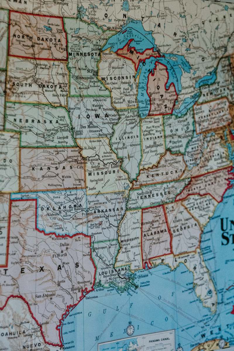
1867 Old Color Map of United States
High Resolution JPEG Picture of Color image of an old map of the United States, sitting slanted on wood background, from the 1800's.
This 1867 old color map of the United States features intricate detailing and vibrant colors that represent various states and territories from a historical perspective. The map is presented on a textured wood background, which adds character and a vintage feel to the overall design. It can serve as an informative visual resource for those interested in the geographical and historical context of the United States during the late 19th century.
This map image can be utilized in various commercial and educational settings. It is perfect for use in history textbooks, educational presentations, or as a decorative element in classrooms. Graphic designers can incorporate it into posters, infographics, or social media posts that focus on American history. The map could also enhance eBook covers or be featured in travel blogs discussing the evolution of U.S. geography.


