Aerial Cityscape View of Paris, France
High Resolution JPEG Picture of Aerial cityscape view of Paris skyline with Eiffel tower and rooftops. Paris, France
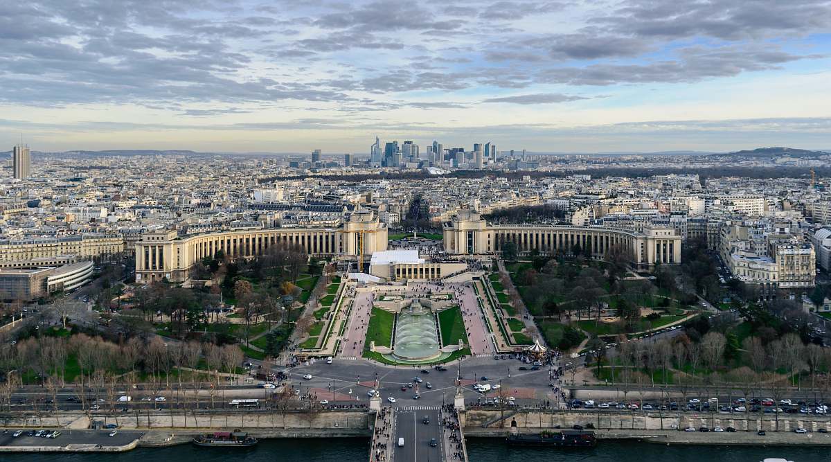
This aerial cityscape image captures the essence of Paris, France, from above, presenting a comprehensive view of its intricate architecture and urban planning. The photograph highlights famous landmarks such as the Eiffel Tower, the Seine River, and sprawling residential areas, providing an informative perspective on one of the world's most notable cities. The composition is designed to attract viewers with a keen interest in urban landscapes and city studies.
This image can be utilized in various contexts, including travel publications, educational materials about urban development, and marketing collateral for real estate. Additionally, it works well for infographics illustrating city statistics, social media posts on travel destinations, mobile UI designs promoting tourism, and as a backdrop for presentations on international cities. It can also enhance eBooks and worksheets focused on geography or architecture.