Aerial Pittsburgh Skyline
High Resolution JPEG Picture of Aerial Pittsburgh Skyline
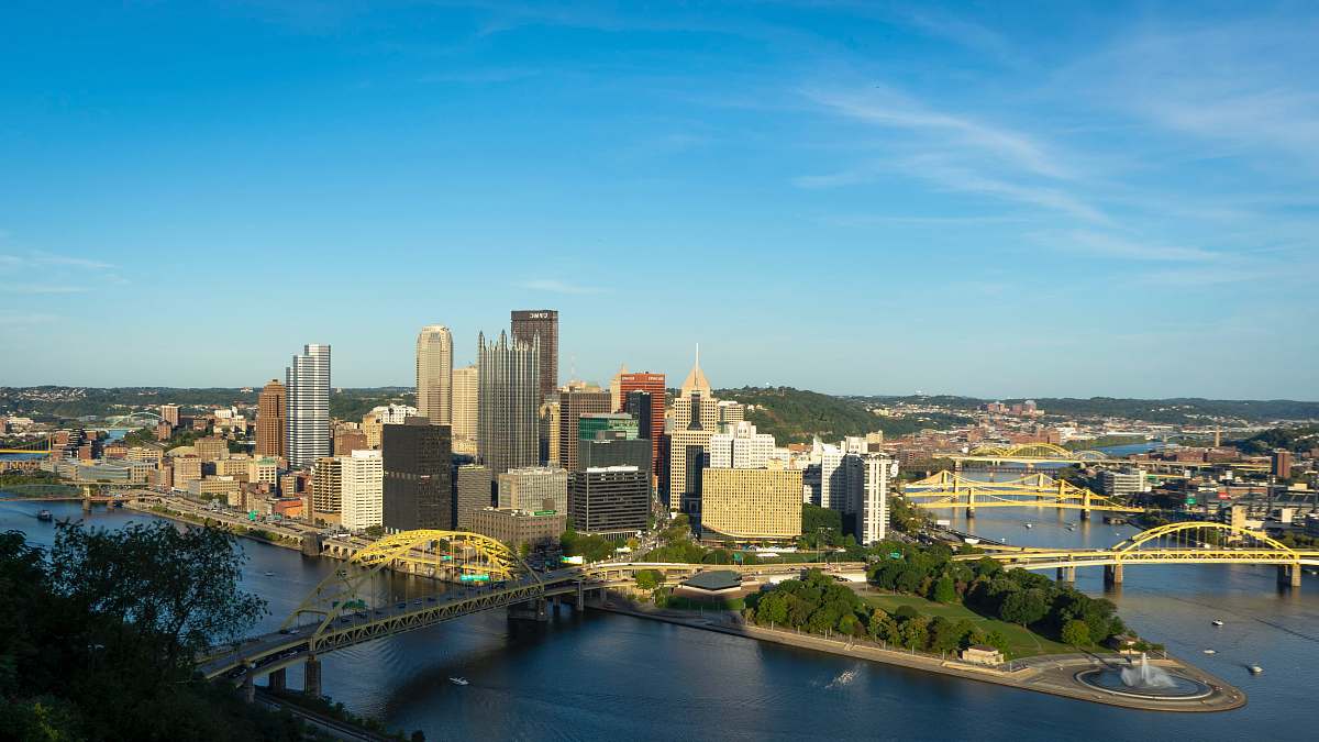
This image captures an aerial perspective of the Pittsburgh skyline, highlighting the city's unique blend of modern and historic architecture. The frame includes key landmarks and the confluence of rivers, which are defining features of Pittsburgh's geography. The composition emphasizes the urban layout and offers a broad view of the city, making it suitable for various design needs related to city life and urban exploration.
This aerial image of Pittsburgh can be effectively utilized in various contexts, such as travel brochures, urban development presentations, and educational resources focusing on geography. It can serve as a backdrop for websites dedicated to tourism, local businesses, or real estate, and can be adapted for social media posts, infographics, and corporate reports showcasing the city�s vibrant culture and economy.