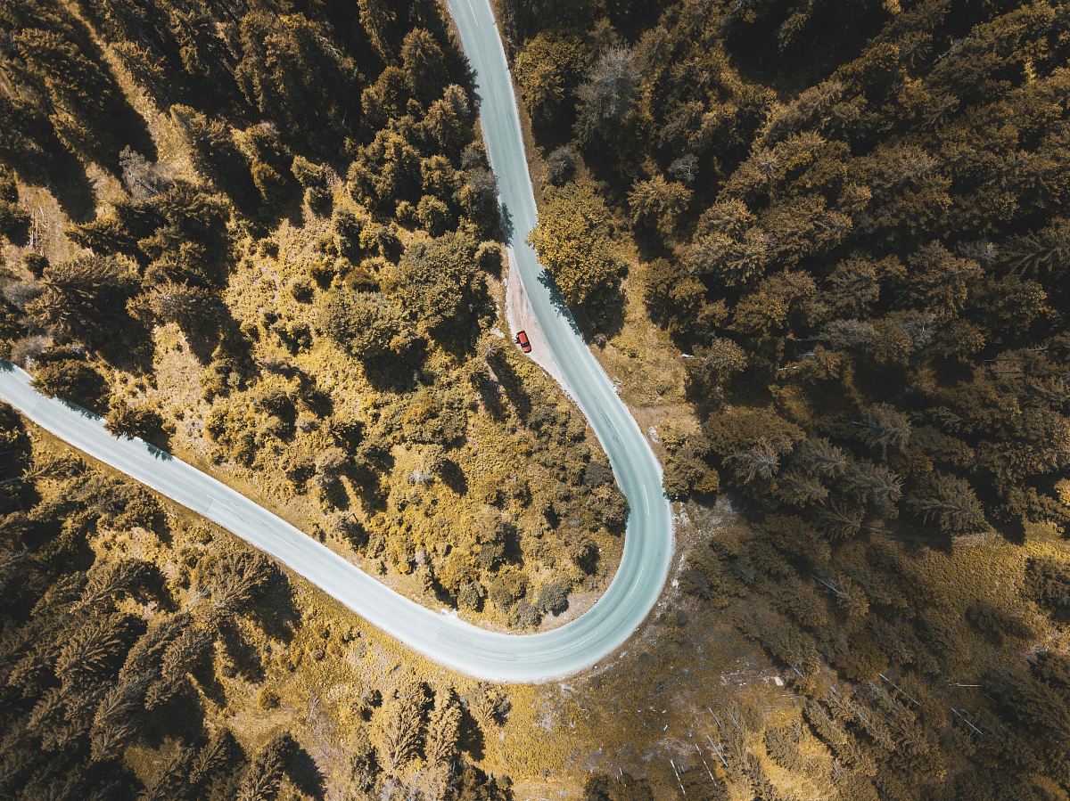
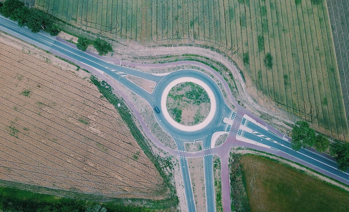
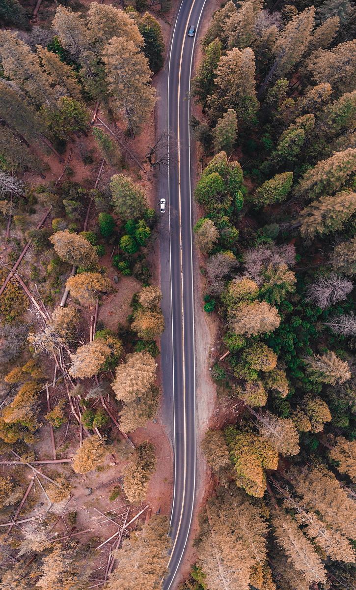
Aerial View of a Road
High Resolution JPEG Picture of Aerial view of a country road through fields and some trees. Looks like a green stock index.
This image captures a detailed aerial view of a road, illustrating its twists and turns as it navigates through various terrains. The photograph presents a clear depiction of the roadway from above, giving insights into the surrounding landscape and the infrastructure in place. The design allows for an effective presentation of road networks, making it applicable for analyses in transportation or city planning.
This aerial view can be utilized in various commercial and educational contexts. It is suitable for use in website designs, urban planning reports, transportation studies, and social media graphics. Additionally, it can enhance infographics, presentations, and educational materials, like worksheets or eBooks that focus on geography or civil engineering. Its versatility makes it a valuable asset for professionals in multiple fields.