Aerial View of Downtown Palmdale California
High Resolution JPEG Picture of Aerial View of Downtown Palmdale, California
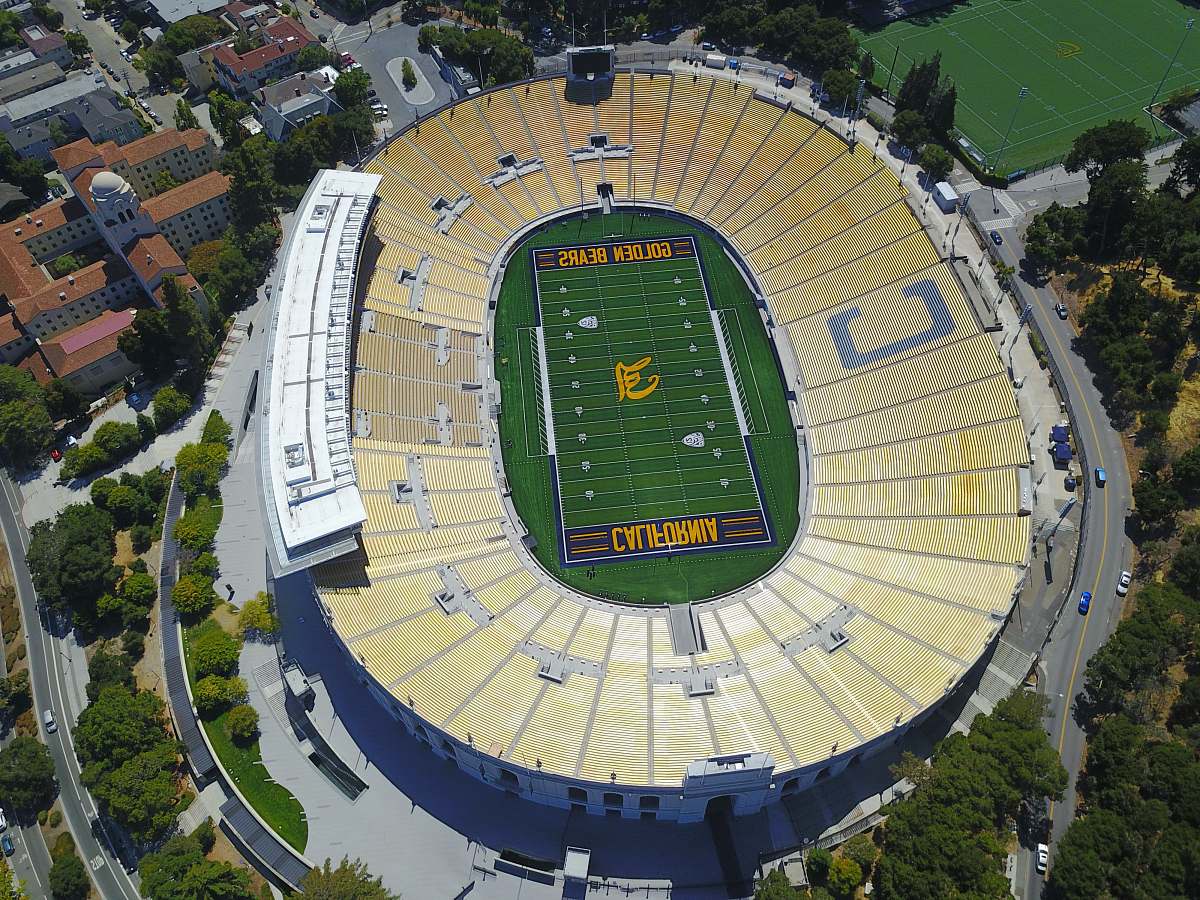
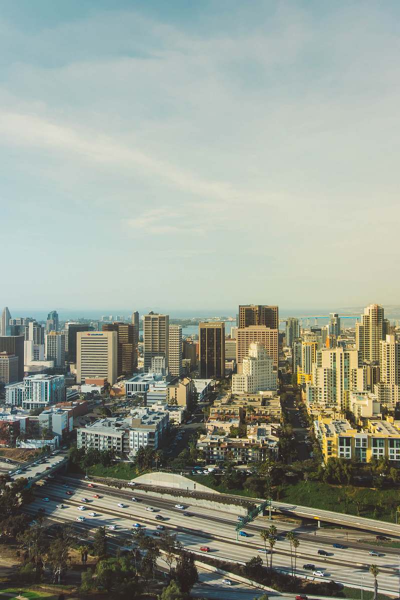
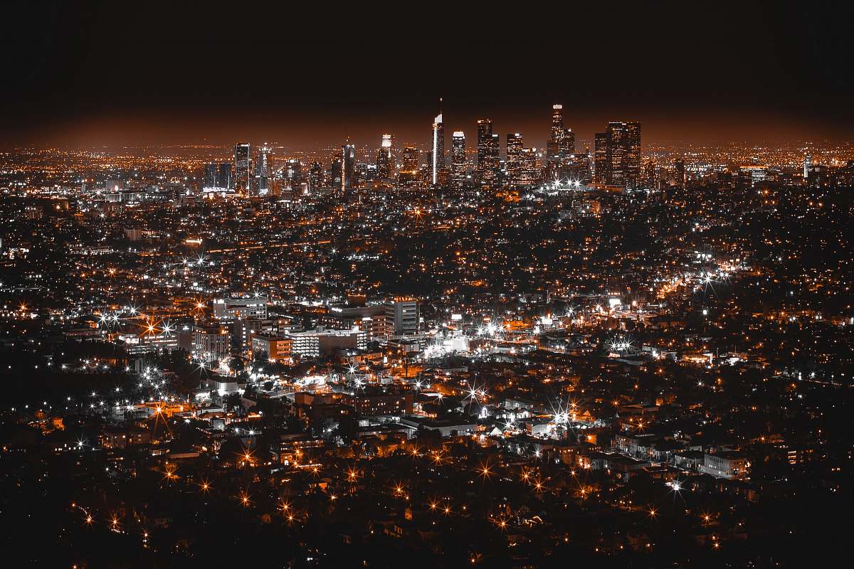
This aerial image captures the layout of downtown Palmdale, California, providing a unique perspective on the urban environment. The photo highlights key architectural features, streets, and green spaces, offering insight into the city's design. This visual representation serves to illustrate the interaction between urban development and the surrounding landscape, making it a valuable asset for various projects focusing on geography or urban planning.
This image serves multiple commercial and educational purposes. It can be effectively utilized in travel articles that highlight Palmdale's urban landscape or included in business presentations to discuss regional development. Additionally, it can enhance social media posts, be used in educational materials about urban geography, or serve as a background in infographics illustrating demographic data. The image is also suitable for website backgrounds and print materials like brochures.


