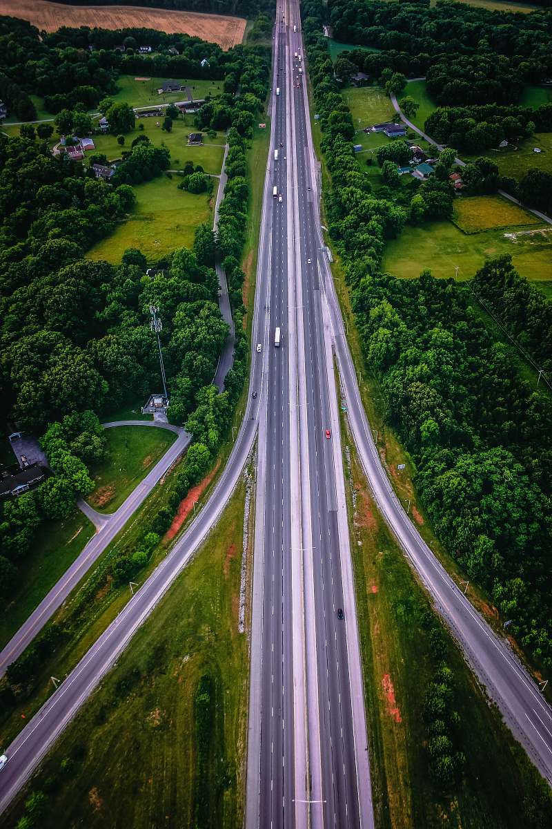
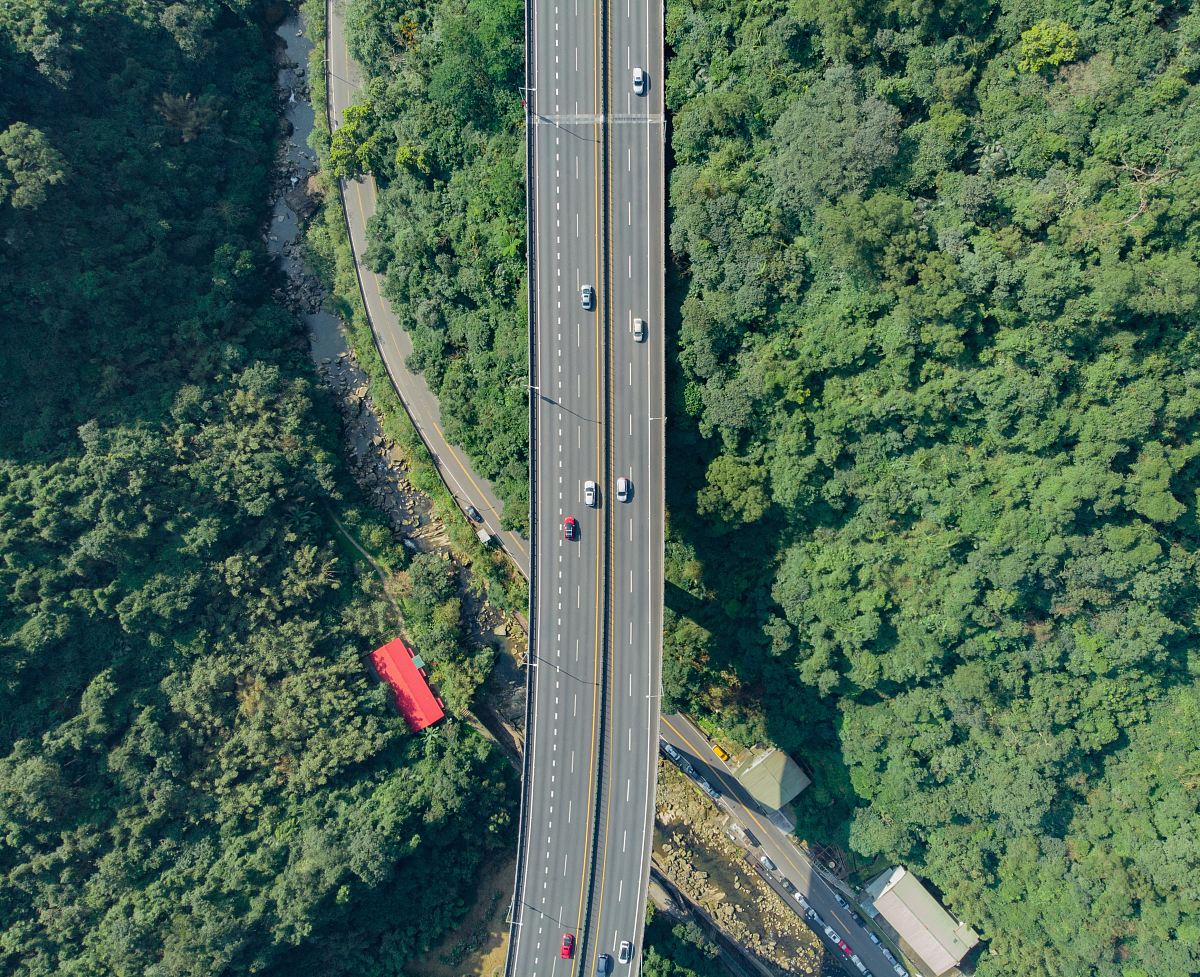
Aerial View of Highway
High Resolution JPEG Picture of
This aerial view showcases a major highway, revealing the intricate design of roadways and traffic patterns. The image captures multiple lanes, interchanges, and surrounding environments, providing a comprehensive perspective on urban infrastructure. This visual representation can aid in analyzing traffic flow, road usage, and city planning. It serves as a beneficial resource for professionals in architecture, urban development, and transportation studies.
This image can be effectively utilized in a variety of commercial and educational contexts. It is suitable for urban planning reports, educational materials, infographics, and presentation slides. Additionally, the image can enhance website content for businesses focused on transportation, city infrastructure, or logistics. It is also applicable for social media graphics, blog posts about traffic management, and marketing materials for urban development projects.