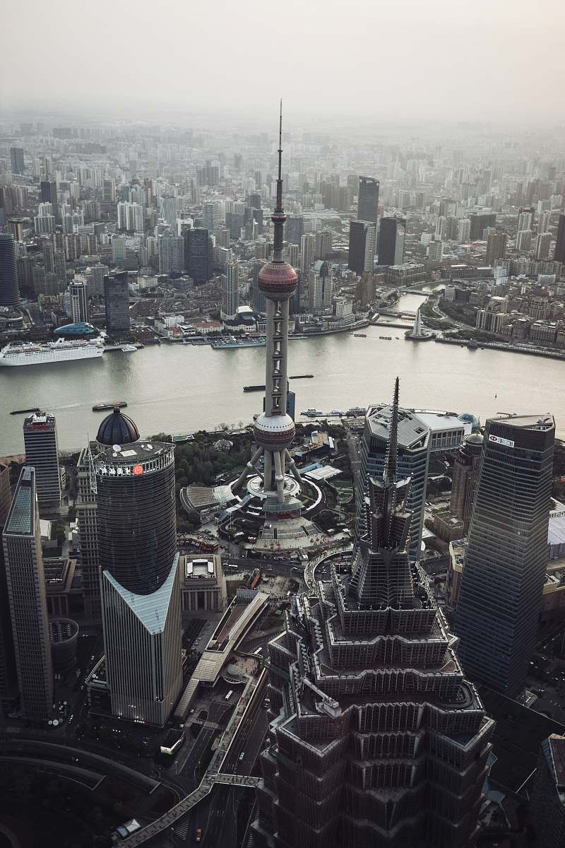
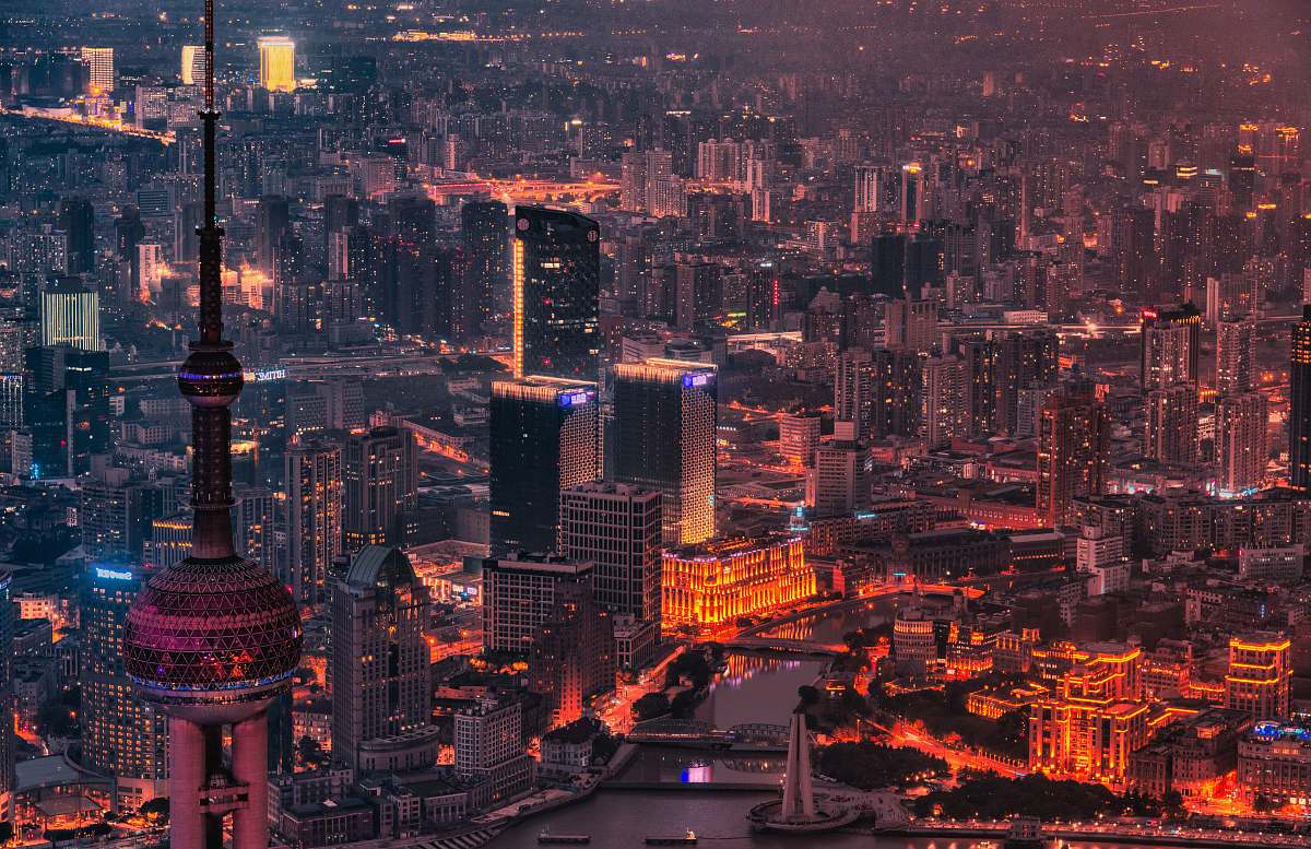
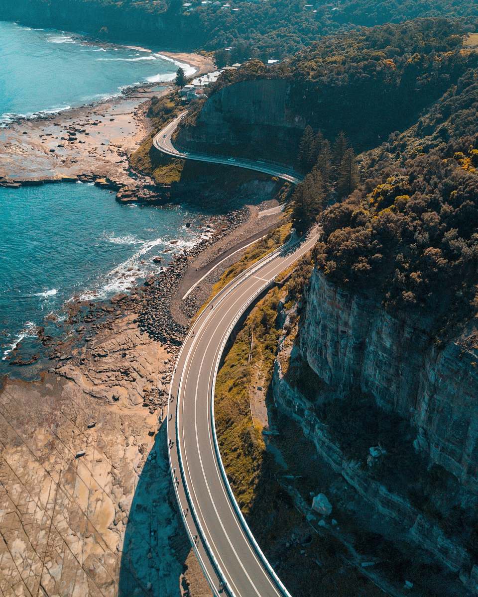
Aerial View of Shanghai Highway
High Resolution JPEG Picture of Aerial view of Shanghai City highways
This image captures an aerial perspective of one of Shanghai's major highways, revealing the intricate layout and extensive network of roads that define the city's transport system. The shot emphasizes the urban infrastructure, with vehicles traversing the lanes below and buildings lining the highway. Taken during daylight, the photograph serves as an informative representation of modern urban planning.
This aerial view of Shanghai's highway can be effectively utilized in various commercial and educational contexts. It is suitable for transportation-related presentations, travel brochures, urban planning reports, and infographics. Additionally, the image can enhance websites and social media campaigns focused on urban development, infrastructure, and travel, making it a versatile choice for creators and marketers looking to illustrate the dynamics of city life.