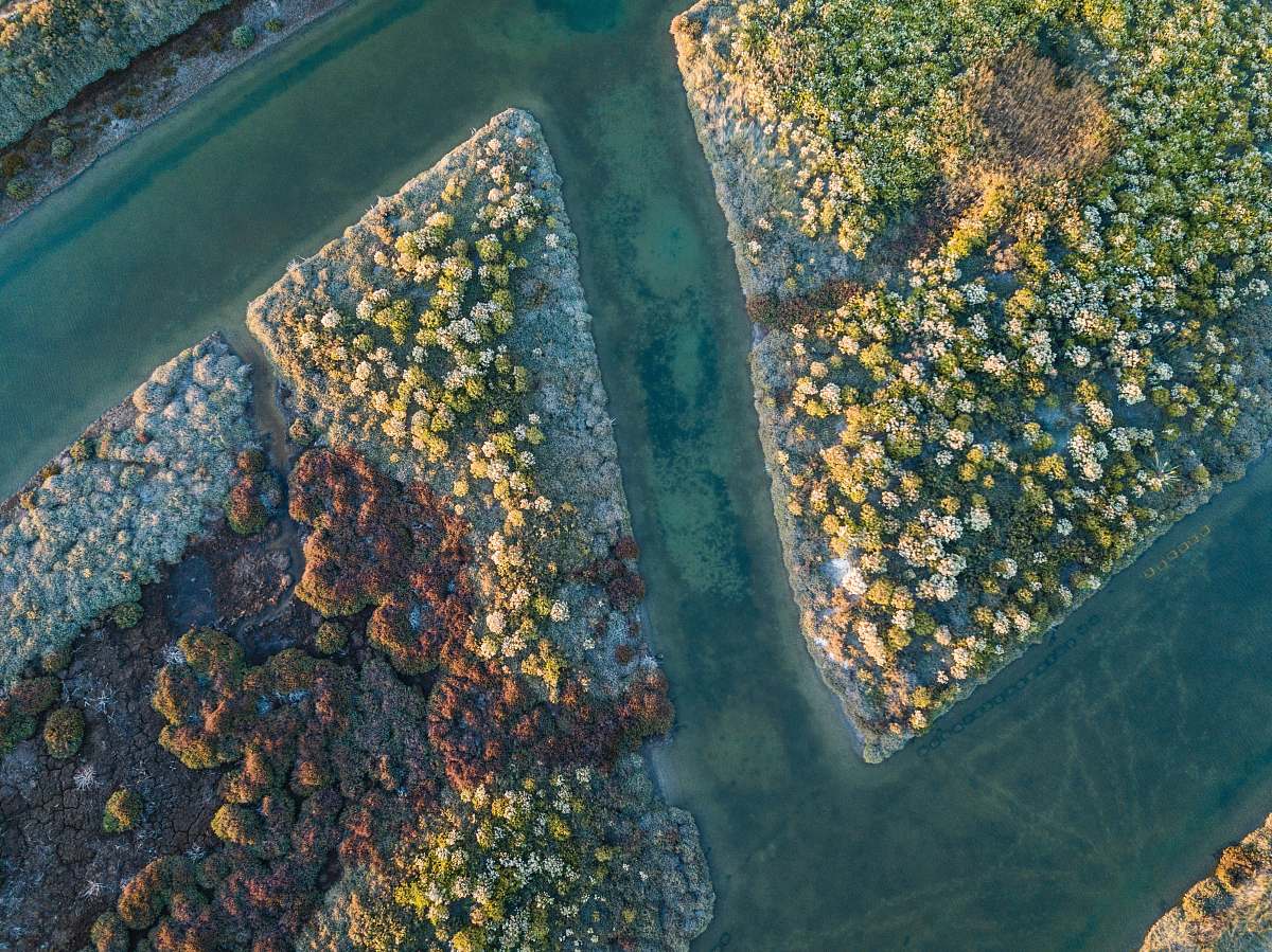
Aerial View of Tameside
High Resolution JPEG Picture of This was taken using a DJI Mavic Mini 2 above Tameside, Manchester.
This aerial view captures the sprawling urban landscape of Tameside, characterized by a mix of residential areas and green spaces. The image provides a comprehensive perspective of the town's layout, featuring various buildings, parks, and streets. This aerial perspective allows for an appreciation of how urban development interacts with nature, making it an excellent addition for planners, educators, or marketers analyzing urban spaces.
This image can be utilized in a variety of contexts such as urban planning presentations, educational materials, and promotional content for local tourism. It is suitable for creating infographics, website backgrounds, social media posts, or reports concerning city development. Additionally, it works well in brochures, educational eBooks, and other marketing materials targeting city dwellers or potential visitors.


