Aerial View of Mendoza City
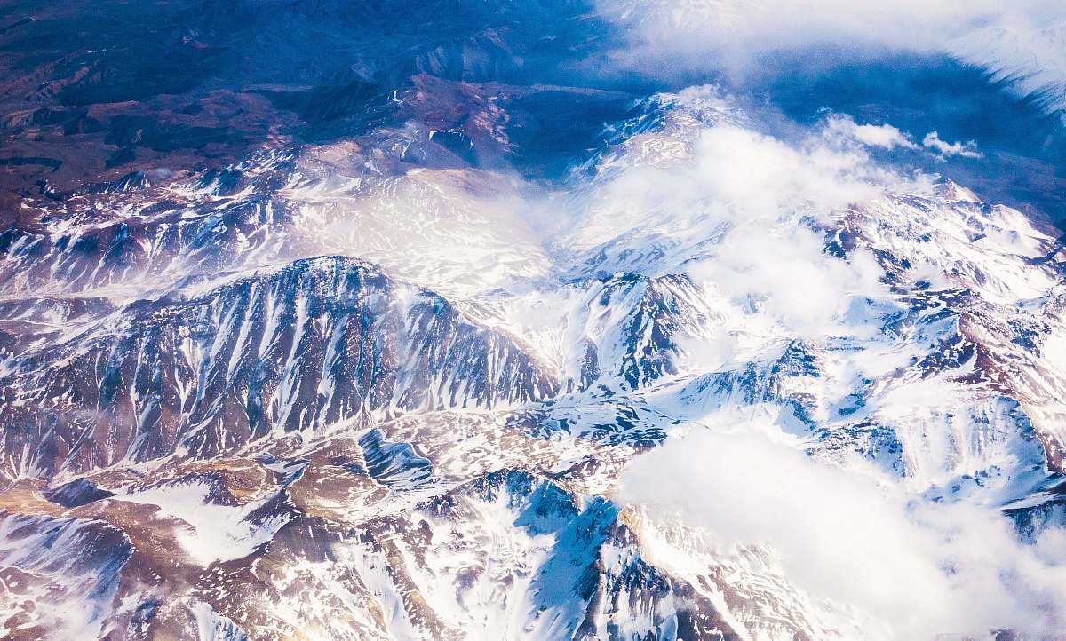
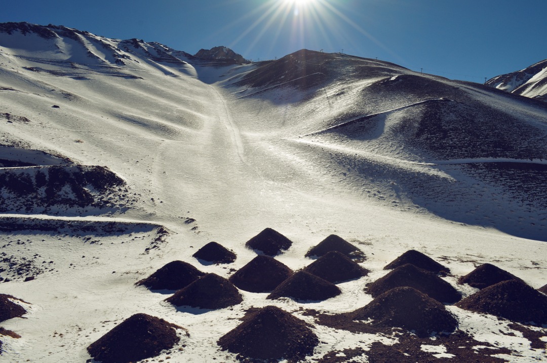
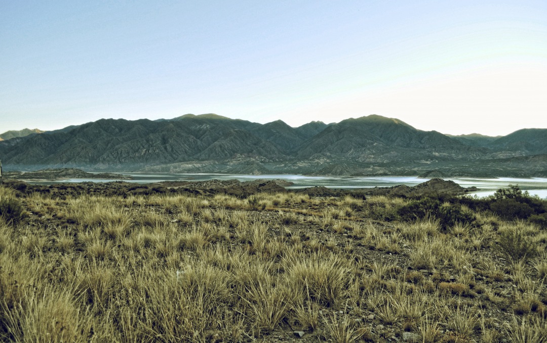
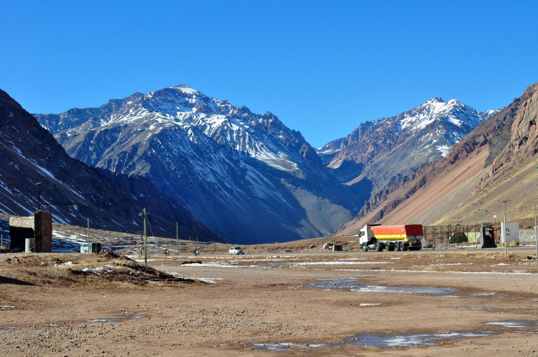
High Resolution JPEG Picture of Aerial view of the city of Mendoza. Argentina
This image captures a broad aerial view of Mendoza City, showcasing its urban layout and the surrounding landscape. The photo highlights key areas of the city including streets, parks, and significant buildings, providing a comprehensive perspective of the region. The layout reflects the urban planning and geographical features that define Mendoza, making it an ideal representation for various contexts.
This aerial view of Mendoza can be utilized in a variety of settings including travel brochures, educational materials about urban development, and web content for tourism websites. It's suitable for use in infographics about the city's geography, on social media platforms to promote Mendoza as a travel destination, or as a backdrop in presentations on city planning. Additionally, it could serve well in mobile applications focused on travel.


