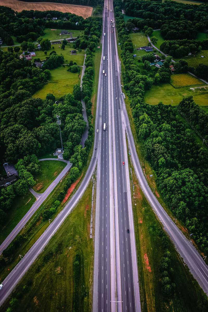
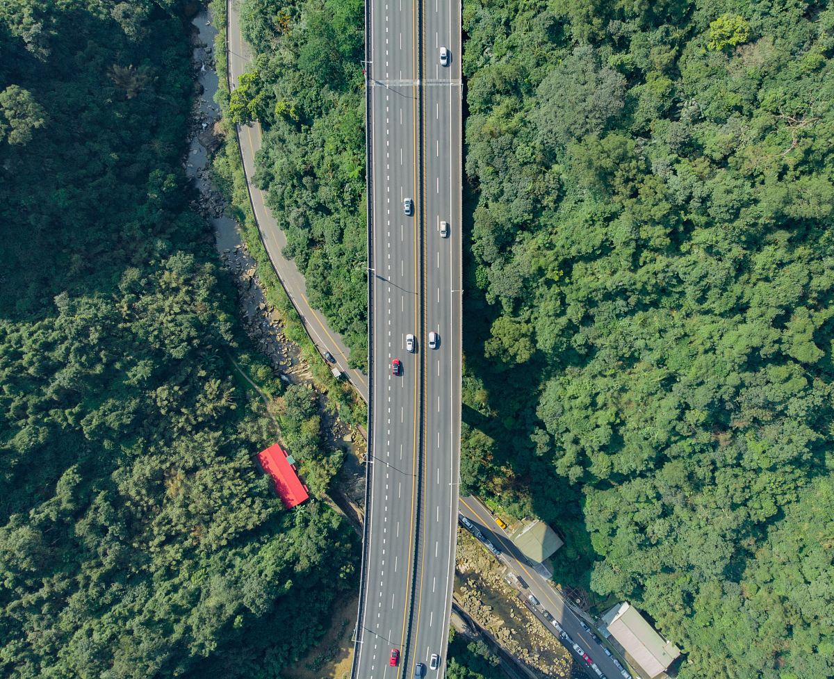
Aerial View of Expressway Motorway and Highway
High Resolution JPEG Picture of Aerial view of the expressway, motorway and highway in circle
This image captures a detailed aerial view of an expressway, highlighting the complex arrangement of highways and motorways. The layout showcases multiple lanes, interchanges, and the surrounding landscape, illustrating the connectivity of urban areas. This visual representation is particularly useful for those involved in transportation infrastructure, city planning, and environmental studies, providing insight into traffic flow and road design.
This image can be utilized across various platforms, including transport planning presentations, urban development reports, and educational materials on infrastructure. It works well for websites focused on travel, logistics, or city planning. Additionally, it can be featured in infographics, social media posts, and marketing materials for companies involved in automotive or transportation services, enhancing visual appeal and conveying essential information effectively.