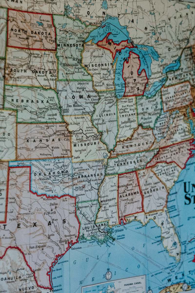
Antique Map of the United Kingdom
High Resolution JPEG Picture of Antique French map of the United Kingdom from Nouvel Atlas Classique c: 1869.
This antique map of the United Kingdom features intricate details that represent historical geographic boundaries and locations. The design includes a variety of regions, landmarks, and topographical features typical of past cartography. Ideal for those interested in history, geography, or antique collections, this map serves both decorative and educational purposes in understanding the evolution of this region's geography.
This antique map can be effectively utilized in various contexts such as educational presentations, history-related blogs, travel brochures, and history book illustrations. It’s also suitable for use in infographic designs, mobile applications focusing on geography, social media content that highlights historical aspects, or even as wall art for offices and classrooms. Its rich detail is perfect for enhancing visual storytelling in eBooks or worksheets.


