Digital Elevation Model of Rivers and Meadows
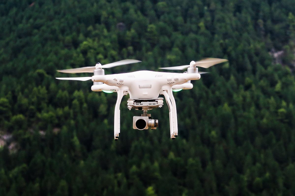
High Resolution JPEG Picture of Aerial maps of rivers and meadows finds a wide usage at GIS. Modern survey by using drone technologies for mapping creates terrain elevation model.
This image features a digital elevation model showcasing rivers and expansive meadows that are bordered by a dense forest. Captured via drone, the model offers a top-down perspective that highlights variations in terrain elevation. The intricate details present in the design are crucial for geographic data analysis and environmental assessments, making it a valuable resource for researchers and planners.
This image can be effectively utilized in various commercial and educational contexts, including GIS presentations, environmental reports, and urban development proposals. It is suitable for integrating into digital platforms such as websites, educational ebooks, and infographics. Additionally, it can enhance social media templates, mobile app interfaces, and printed materials like posters or worksheets aimed at geographic and ecological studies.


