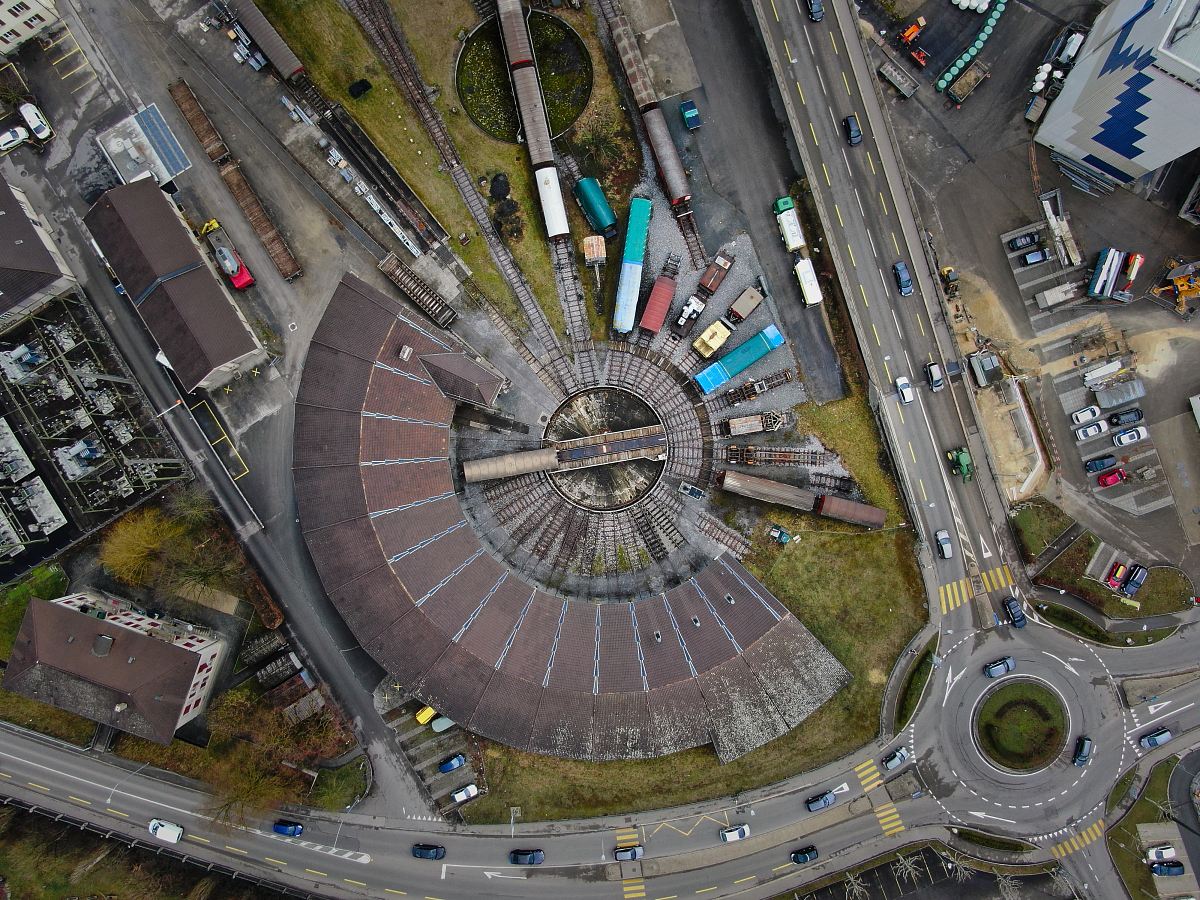
Aerial View of Dublin Cityscape
High Resolution JPEG Picture of Republic of Ireland Aerial view of Dublin cityscape
This image captures a detailed aerial view of Dublin's cityscape, highlighting the intricate street layout, rooftops, and key landmarks. The photograph provides a comprehensive perspective of the urban environment, reflecting the architectural diversity and greenery interspersed throughout the city. The image serves as an informative representation of Dublin, making it an excellent resource for those looking to understand its layout and character.
This aerial view of Dublin can be utilized in various real-world contexts such as travel brochures, educational presentations, and urban planning discussions. It is suitable for websites, travel blogs, and social media posts, offering a visual element for marketing materials or infographics. Additionally, it can enhance printed materials like posters or reports, making it a versatile choice for professionals in the travel and education sectors.


