Earth Model USA View
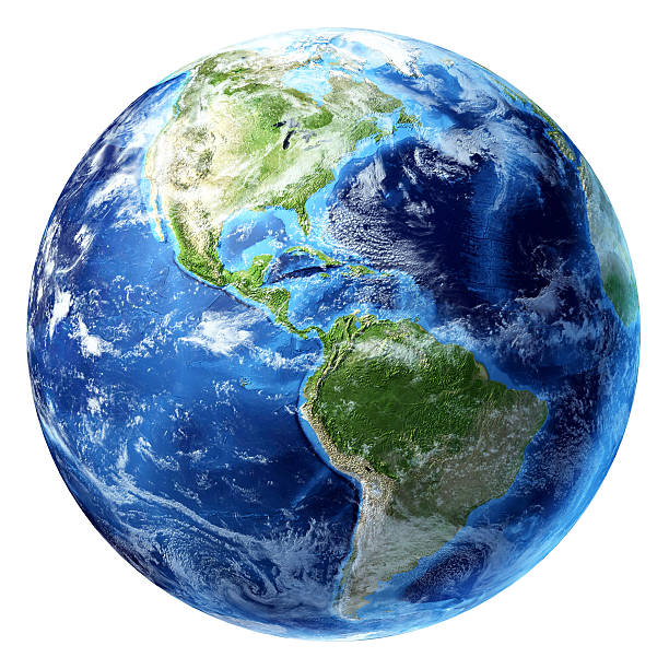
High Resolution JPEG Picture of "High resolution 3D render of Planet Earth. Transparent water, shaded relief, natural colors, clouds cover.Clouds map comes from earthobservatory/nasa.You may also like my other Earth images:"
This image presents a detailed model of the Earth, focusing specifically on the geographical representation of the United States. The model offers a three-dimensional view, highlighting various topographical features, including mountains, plains, and rivers. It's designed for educational purposes, making it an excellent resource for teachers and students interested in geography and environmental studies.
This Earth model image can be effectively utilized in a variety of contexts, including educational textbooks, geography courses, and online learning platforms. It can also enhance presentations, infographics, and social media posts aimed at raising awareness about geography. Use it for posters in classrooms, eBooks on environmental topics, and website designs focused on education or travel.