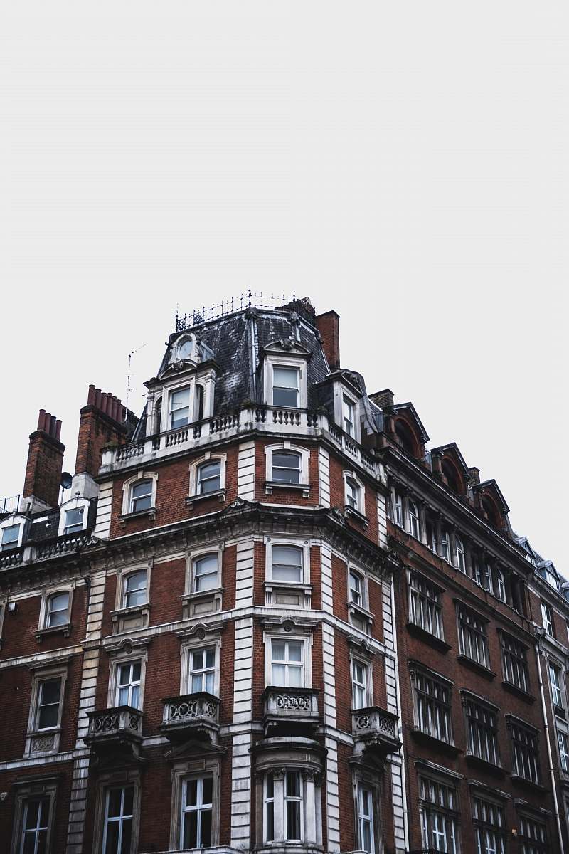
Earthquake Damage in Mexico City
High Resolution JPEG Picture of Earthquake damage on an apartment buiding in Mexico City.
This image captures the severe impact of an earthquake in Mexico City, showcasing the destruction of buildings and the scattered debris that follows such natural disasters. The photo illustrates the challenges faced by urban areas in earthquake-prone regions, providing a visual account of the devastation. This documentation is essential for understanding the effects of seismic activity on infrastructure and the community.
This image can be utilized in various commercial and educational contexts, such as in textbooks discussing geology, disaster preparedness campaigns, or city planning presentations. It can enhance social media posts raising awareness about earthquake safety, serve as a backdrop in documentaries, or be incorporated into infographics illustrating earthquake statistics and safety tips. Additionally, it can be used in articles focusing on urban resilience or climate change impacts.


