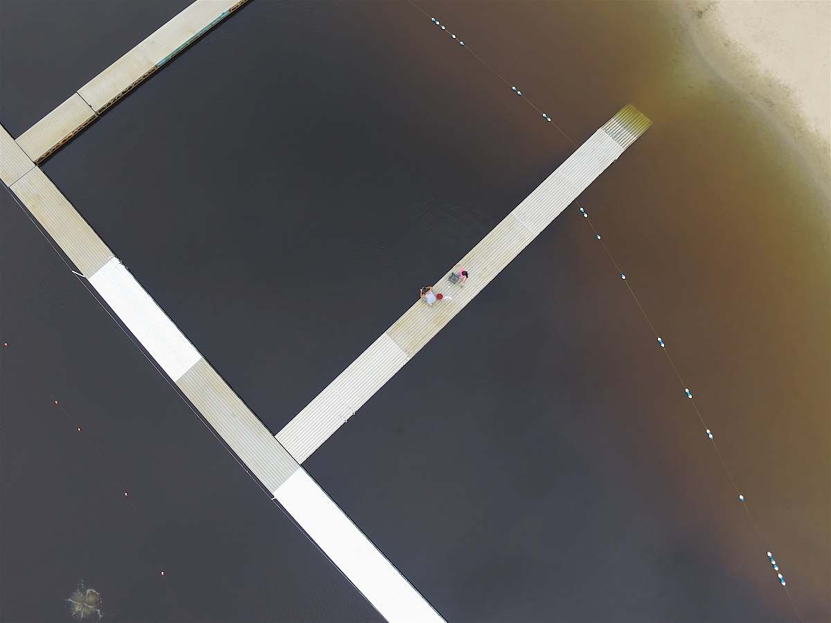
Aerial View of Enfield Town Centre, North London
High Resolution JPEG Picture of Enfield town centre North London UK aerial drone view from above
This image showcases an aerial drone perspective of Enfield Town Centre, situated in North London, UK. The photograph highlights the layout of the town, including its streets, buildings, and surrounding greenery. The vantage point offers insight into the urban environment, making it suitable for various applications. Its clear depiction of the area�s architecture and infrastructure can serve as a valuable resource for presentations or reports.
This image can be effectively utilized in commercial and educational contexts, including urban planning reports, tourism brochures, and real estate marketing materials. It is also suitable for use in digital platforms such as websites and social media posts, and can enhance infographics and e-books focused on urban development or community features. Additionally, it can be incorporated into posters or canvas prints for promotions.