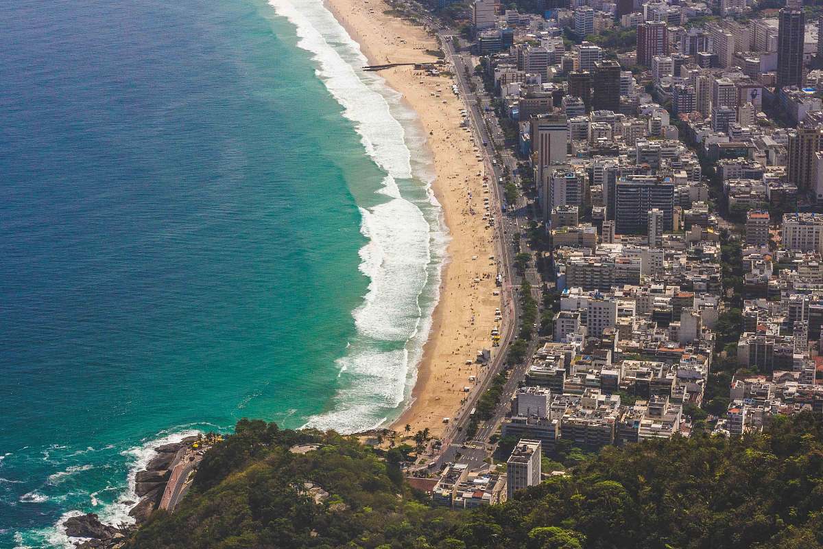
Aerial Photo of the City of Cascavel, Paraná, Brazil
High Resolution JPEG Picture of aerial photo of the city of Cascavel Paraná Brazil. Aerial photo of the city of Cascavel Paraná Brazil. Migrant Square.
This aerial photo provides a comprehensive view of the city of Cascavel, located in the state of Paraná, Brazil. The image captures the urban layout, including residential areas, parks, and key infrastructure. Shot from above, it emphasizes the grid-like street patterns and the city's greenery, which contribute to its charm. The clear skies enhance visibility, making it suitable for a variety of design purposes.
This aerial image can be effectively utilized in commercial and educational projects. It is perfect for websites related to tourism, urban development, and environmental studies. Additionally, it can serve as compelling content for brochures, social media posts, and presentations. Designers may incorporate it into infographics about urban areas, city planners may use it in reports, and educators can include it in teaching materials related to geography or urban planning.


