Freeway Interchange Aerial View
High Resolution JPEG Picture of The "High Five" freeway interchange in Dallas connects I-635 with State Highway 75 just north of Dallas Texas and is considered to be one of the "strangest" in the world due to its five levels of bridges and its height of over 100 feet.
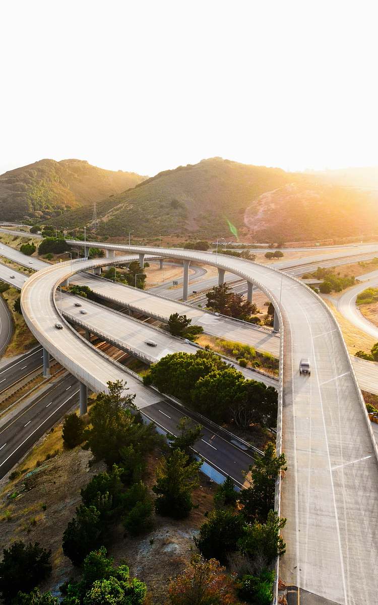
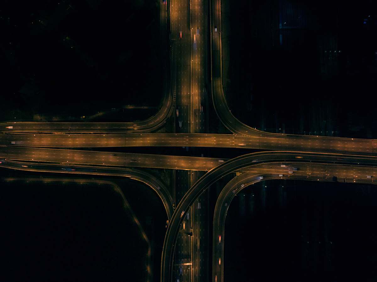
This aerial image provides a detailed view of a busy freeway interchange, highlighting the interconnected roadways that facilitate urban transportation. The composition captures multiple lanes, overpasses, and entry/exit ramps, making it an informative piece for urban planners and transportation analysts. The aerial perspective allows for a clear understanding of the flow and structure of traffic patterns in metropolitan areas.
This image can be effectively utilized in various commercial and educational contexts. It is suitable for transportation reports, city planning presentations, and traffic management studies. Additionally, it can enhance websites that focus on infrastructure, be included in urban development eBooks, or serve as an element in informative graphics for social media posts and articles discussing urban mobility and infrastructure challenges.