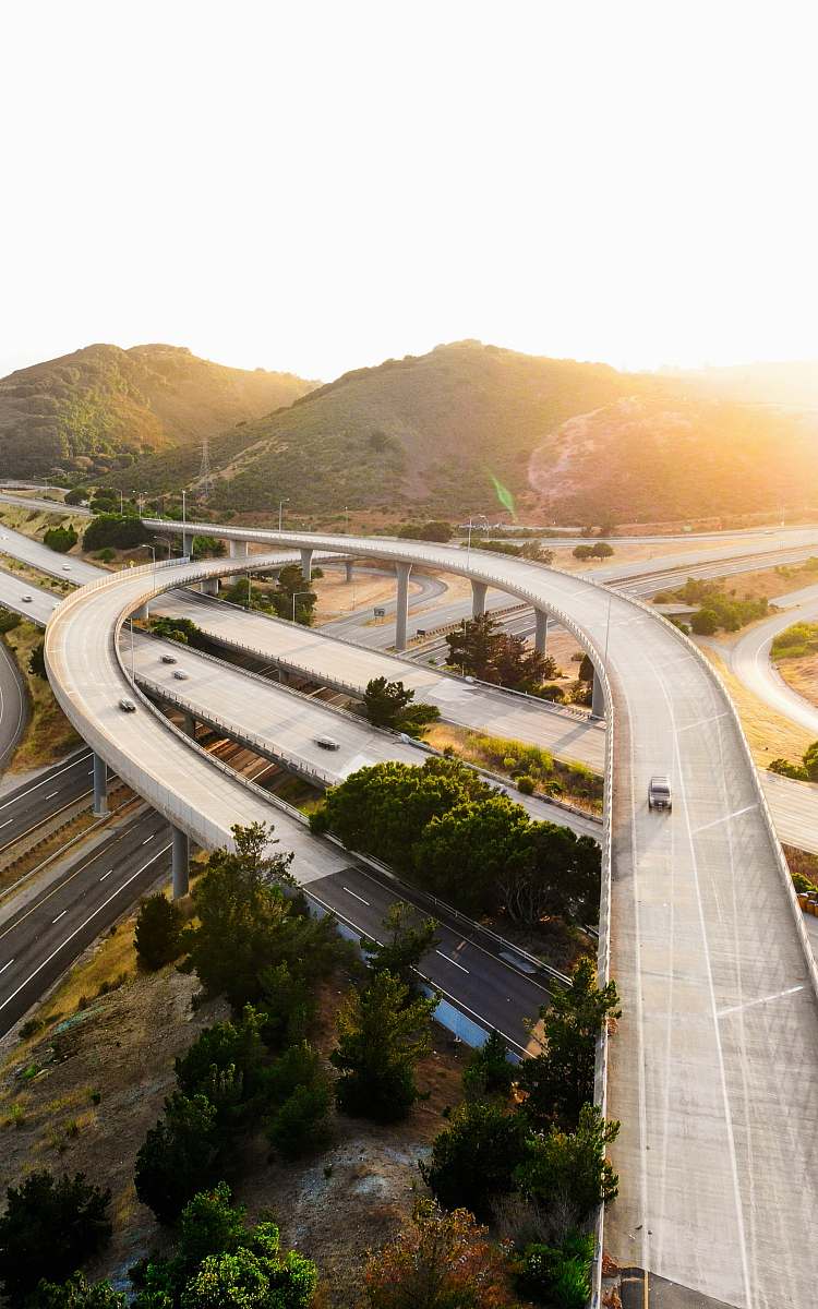
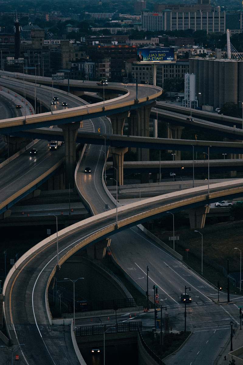
Freeway Merge Aerial View
High Resolution JPEG Picture of Composite image of separate east and westbound elevated interstate roadways splitting and merging into another north/south freeway shot aerially from about 1000 feet in altitude. This shot taken just outside of downtown Nashville, Tennessee.
This aerial image captures a busy freeway merge, highlighting the intricate design of urban traffic infrastructure. The scene reveals multiple lanes converging as vehicles navigate through the intersection, demonstrating the dynamics of road usage in metropolitan areas. The perspective provides insight into traffic flow and urban planning, making it a significant visual for those studying or working in transportation and city development.
This image can be utilized in various commercial and educational contexts. It is suitable for transportation planning documents, urban development reports, and infographics illustrating traffic patterns. Additionally, the image can enhance websites or blogs focused on urban planning, serve as a background in social media templates, or be included in eBooks discussing infrastructure and city design. Its versatility makes it valuable for presentations and visual aids in educational settings.