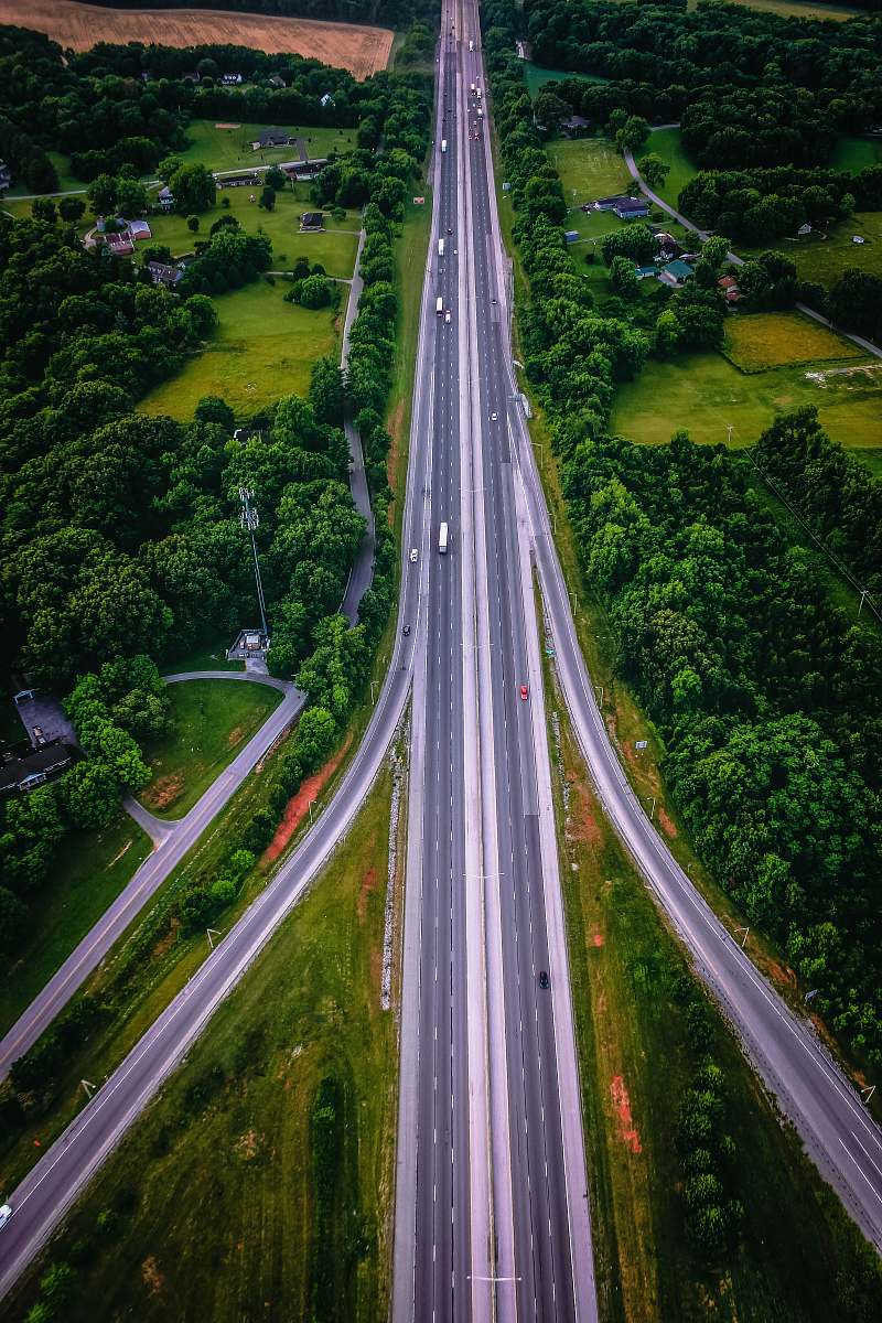
Highway Junction Aerial View
High Resolution JPEG Picture of Highway junction in Bangna, the east of Bangkok from aerial view in the night. Taken in August 2016.
This image captures a comprehensive aerial view of a highway junction, highlighting the intricate pathways of vehicles connecting various roads. From a bird's-eye perspective, the layout reveals the complexity of urban traffic dynamics and infrastructure. The design emphasizes the organization of lanes and overpasses, making it an excellent visual resource for studies in transportation and civil engineering.
This aerial view of a highway junction can be effectively utilized in commercial presentations, educational materials, and urban planning documents. It serves well for transportation analyses, infographic designs, and travel blogs. Additionally, it can enhance social media content, web design, or even serve as background imagery for ebooks, helping to visualize concepts related to traffic flow and infrastructure development.