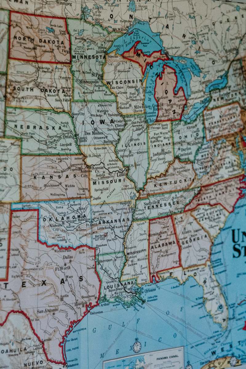
Map - Detailed Geographic Representation
High Resolution JPEG Picture of Map close up: Africa, Asia.
This image features a high-resolution map that provides a detailed geographic representation complete with grid lines for orientation. The layout is designed to clearly display different regions, landmarks, and geographical features, making it useful for various applications. The design is straightforward, emphasizing clarity and functionality, which aids in navigation and understanding of geographical contexts.
This map can be utilized in various commercial and educational contexts. It is suitable for travel guides, presentations, and educational worksheets, helping users visualize different locations. Graphic designers can use it in infographics, web design projects, and mobile UI layouts. Additionally, this image is perfect for social media posts and content creation that requires geographical context, enhancing user engagement across platforms such as blogs, Instagram, and eBooks.


