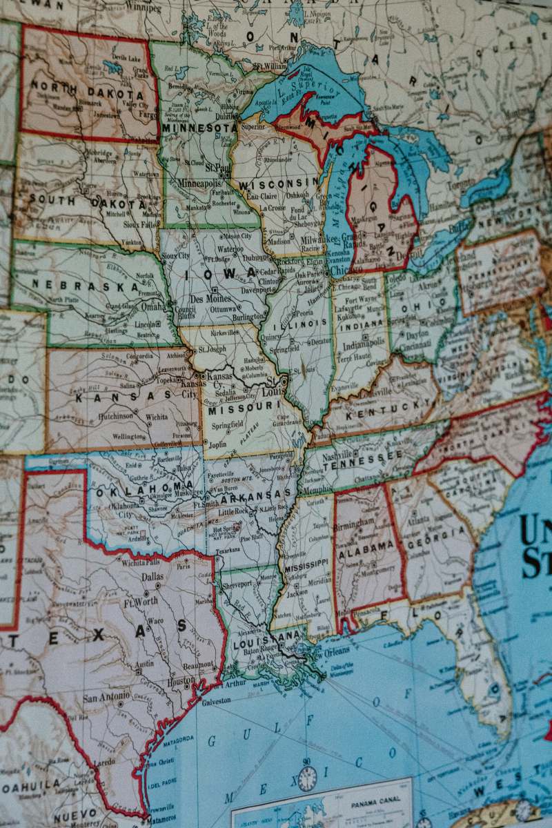
Map of Central America - Satellite View
High Resolution JPEG Picture of Map of Central America, satellite view. Mexico and United States, physical map. reliefs and mountains. Elements of this image are furnished by Nasa. 3d render https://visibleearth.nasa.gov/images/73801/september-blue-marble-next-generation-w-topography-and-bathymetry/73812l
This image presents a detailed satellite view of Central America, prominently featuring Mexico and the United States. The map highlights physical geographical features, including mountain ranges and various landforms, offering a clear representation of the region's topography. Ideal for educational purposes, the map can serve as a valuable tool for geography lessons, research projects, or any context needing a visual representation of Central America's physical landscape.
This image is suitable for a variety of applications, including educational materials, textbooks, atlases, and online resources. It can enhance presentations, infographics, and reports that discuss geographical topics. Additionally, this map can be used in social media posts, websites focused on travel and geography, or as a backdrop for educational videos. Its clarity makes it a great asset for e-books or printed materials related to Central American studies.


