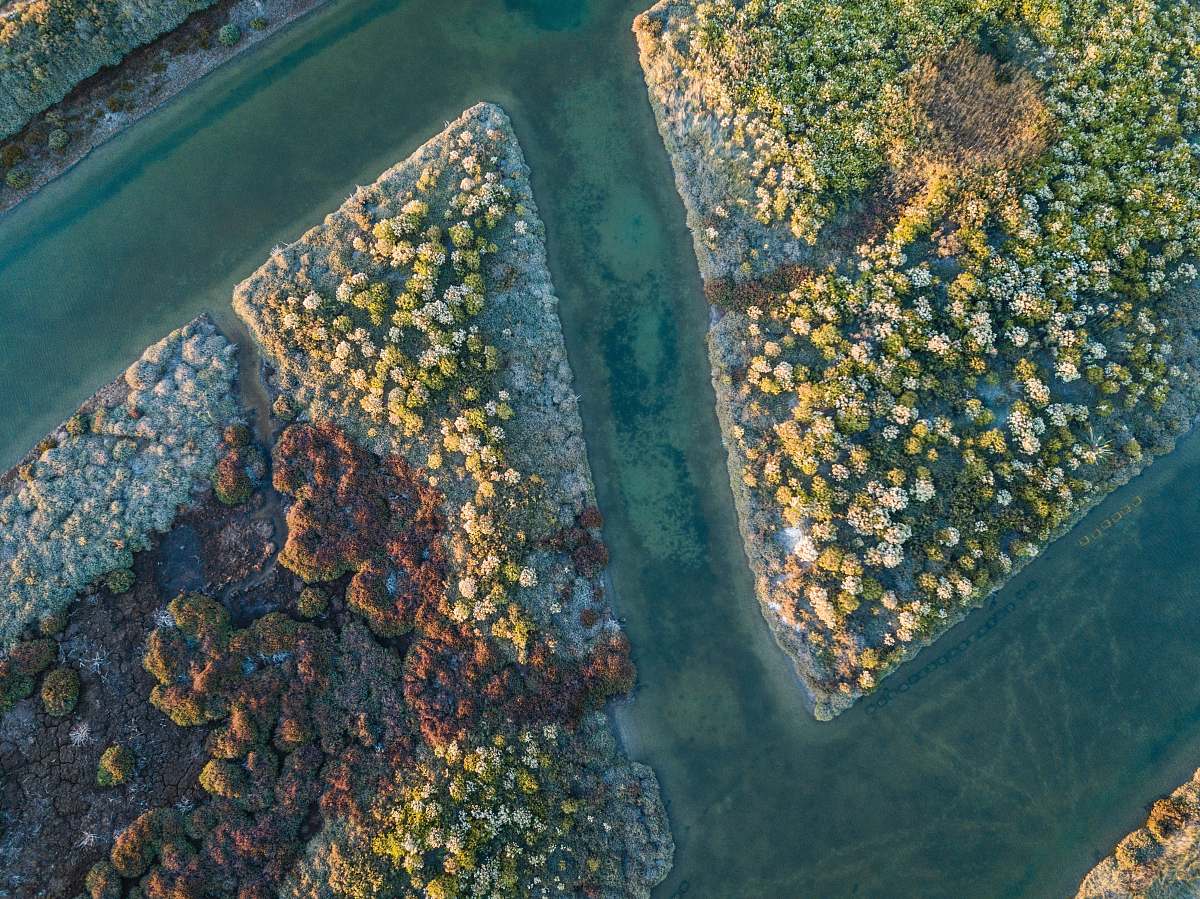
Maungatapu Aerial View
High Resolution JPEG Picture of
This aerial view of Maungatapu captures the expansive landscape characterized by rolling hills and lush greenery. The photo reveals an overview of the terrain, highlighting key geographical features such as valleys and water bodies. The composition offers a clear perspective, making it suitable for various applications in both digital and print formats. The natural colors and patterns add depth to the visual representation of this unique location.
The Maungatapu aerial view can be effectively used in several contexts, including travel brochures, educational materials, and website designs. It serves well as a backdrop for infographics or as a featured image on social media posts related to nature, travel, or geography. Additionally, it can enhance eBooks that focus on destinations and landscapes, and can be utilized in presentations or reports that require high-quality imagery to depict natural environments.