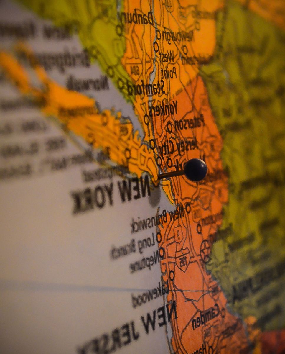
Old Map of the World
High Resolution JPEG Picture of old genuine map of the world with compass
This illustration showcases an antique world map that offers a glimpse into historical geography. The map features detailed cartographic elements, including continents, oceans, and navigational routes as they were understood in the past. Ideal for educational purposes or use in historical content, this image provides a rich visual context that can enhance your project or presentation. The intricate design reflects the artistic style of its time.
This old map of the world can be effectively used in a variety of contexts, such as educational materials and history-themed projects. It serves well in textbooks, eBooks, and online courses that focus on geography or historical exploration. Additionally, the image can be incorporated into infographics, posters, or canvas prints, making it a versatile asset for educators, historians, and graphic designers. It can also be utilized in social media posts to attract history enthusiasts.


