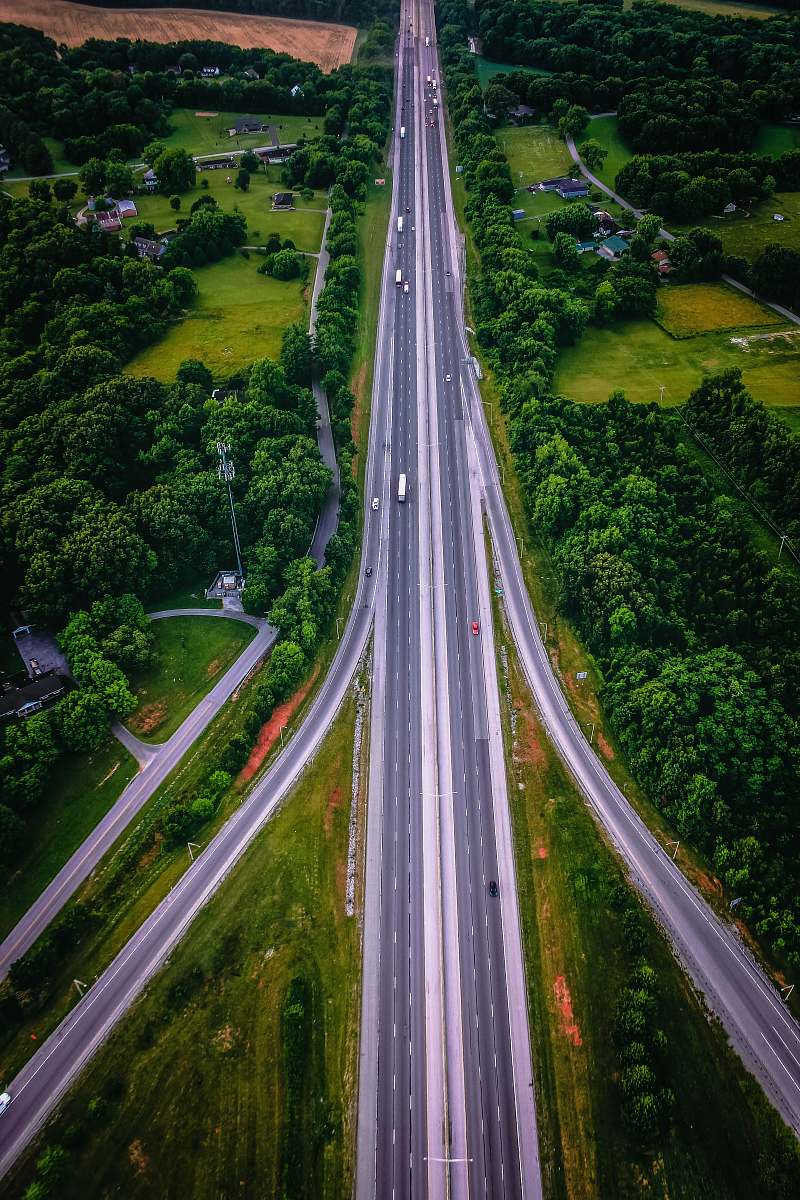
Aerial View of Bowling Green Kentucky Downtown
High Resolution JPEG Picture of Main streets running through the sleepy college town of Bowling Green KY
This image showcases an aerial view of the urban downtown area of Bowling Green, Kentucky, captured on an overcast day. The photograph highlights the city's layout, architecture, and street grid, offering a unique perspective often unattainable from street level. It serves as a resource for understanding urban development and city planning in the region, providing context for various projects and presentations.
This image can be utilized in various commercial and educational contexts, including real estate marketing, city planning presentations, and urban development studies. It is suitable for use in printed materials, such as brochures and posters, as well as digital applications like websites, social media posts, and infographics. Additionally, it can enhance educational content in eBooks and worksheets, making it a versatile resource for various industries.


