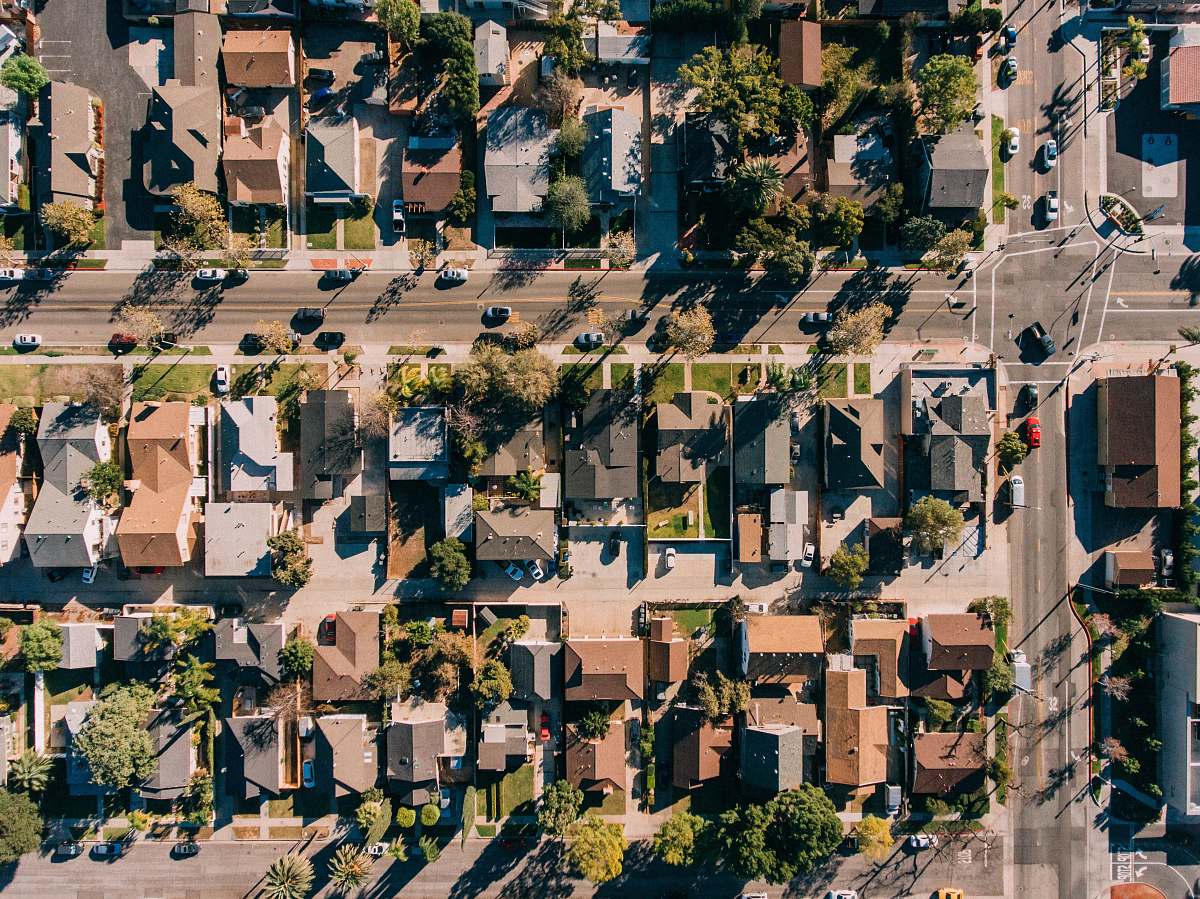
Residential Street Aerial View
High Resolution JPEG Picture of A traffic circle in the intersection of two suburban St. Louis streets shot from about 600 feet in altitude.
This aerial image captures a residential street, highlighting the layout of a neighborhood formed by houses, gardens, and tree-lined streets. The perspective offers insight into urban planning and residential areas, making it a valuable resource for various projects. The image showcases the spatial arrangement and design of homes, allowing viewers to understand the community structure and landscape.
This image can be effectively utilized in real estate presentations, urban development proposals, and educational materials. It is suitable for websites focusing on housing, city planning, or community guides. Additionally, it can be used in brochures, social media posts, and infographics aimed at illustrating residential trends. Businesses may also incorporate it into marketing materials or reports related to neighborhood assessments.