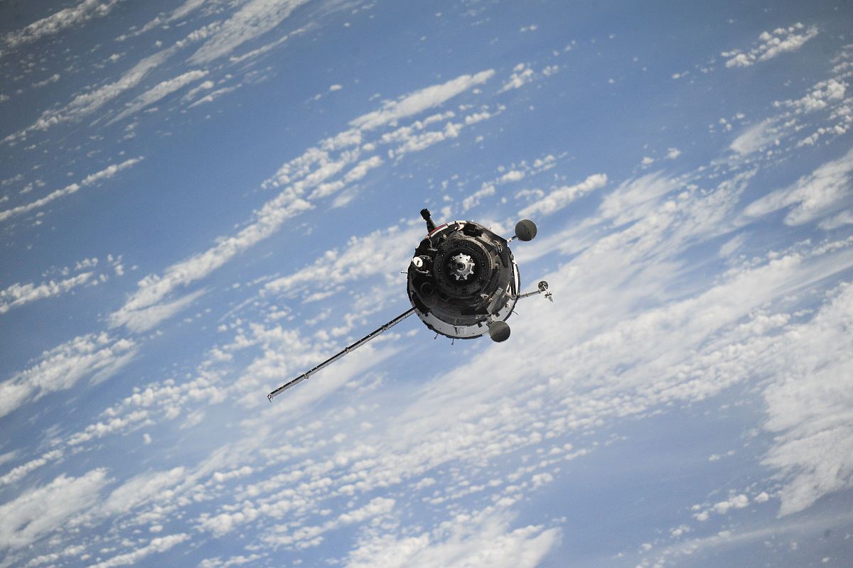
Satellite Image of Earth
High Resolution JPEG Picture of Satellite is orbiting around the Earth
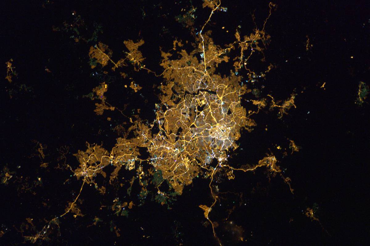
This satellite image showcases a detailed aerial view of Earth, highlighting various geographical features and landforms. The image focuses on the intricate patterns formed by cities, vegetation, and bodies of water, providing a comprehensive perspective of the planet's surface. The clarity of the image allows for various applications in both academic and commercial fields, enhancing visual storytelling and data representation.
This versatile satellite image can be utilized in a range of contexts, including educational presentations, environmental research reports, and geographic studies. It can also enhance web content for technology and travel websites, serve as a backdrop for infographics, and be incorporated into social media posts or marketing materials. Whether for textbooks, eBooks, or interactive learning modules, this image provides valuable visual support.