Satellite Image of Earth
High Resolution JPEG Picture of 3d rendering satellite isolated on white
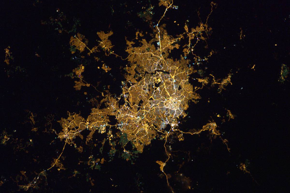
This image presents a high-resolution view of Earth taken from a satellite, showcasing geographic features and patterns across diverse landscapes. The photo highlights various terrains, including mountains, rivers, and urban areas, providing a comprehensive aerial perspective. Designed for clarity and precision, it serves as a valuable resource for researchers, educators, and content creators looking to illustrate global geography and environmental studies.
This satellite image can be utilized across various platforms and formats, making it suitable for educational textbooks, scientific presentations, and environmental reports. Additionally, it can enhance web content, infographics, and social media posts, providing visual context for discussions about geography, climate change, or urban development. Ideal for use in mobile applications and e-learning modules, it supports a wide range of educational and commercial projects.