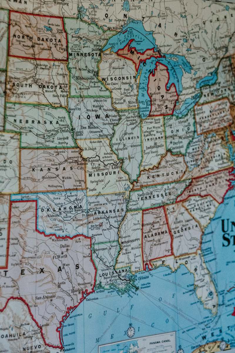
Sudan Map
High Resolution JPEG Picture of Sudan map. Source: "World reference atlas" [url=/search/lightbox/5890567][IMG]http://farm4.static.flickr.com/3574/3366761342_e502f57f15.jpg?v=0[/IMG][/url]
This image features a meticulously designed map of Sudan, showcasing the country's borders, major cities, and geographical features. The illustration is created with clear lines and distinct labeling, making it suitable for both educational and professional use. The map is presented in a high-resolution format, ensuring that details are easily readable. It serves as an essential resource for anyone needing accurate geographical information on Sudan.
This map of Sudan can be effectively used in a variety of contexts, from educational materials such as textbooks and worksheets to professional uses in geographic presentations and reports. It is suitable for inclusion in travel brochures, websites, and infographics, serving as a visual reference for students and researchers. Additionally, social media posts or mobile UI designs can incorporate this map to enhance user engagement and provide significant context.


