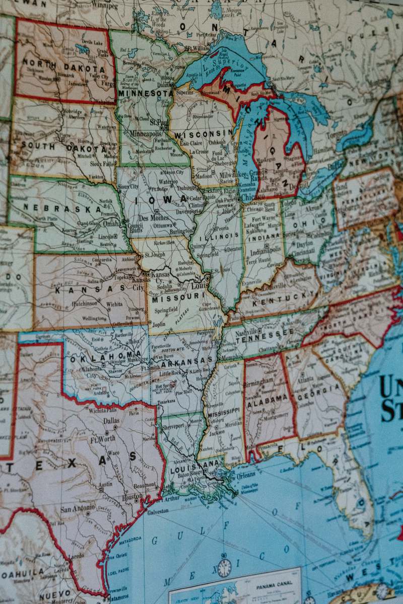
Topographic Map of the United States
High Resolution JPEG Picture of 3D Render of a Topographic Map of the United States of America. All source data is in the public domain.Color texture: Made with Natural Earth.http://www.naturalearthdata.com/downloads/10m-raster-data/10m-cross-blend-hypso/Relief texture: GMTED 2010 data courtesy of USGS. URL of source image:https://topotools.cr.usgs.gov/gmted_viewer/viewer.htmWater texture: SRTM Water Body SWDB: https://dds.cr.usgs.gov/srtm/version2_1/SWBD/
This horizontal 3D rendered topographic map illustrates the diverse landscape of the United States, showcasing various elevations, valleys, and mountain ranges in intricate detail. The neutral border enhances the map's clarity, making it an ideal resource for educational and professional use. The design is both informative and visually engaging, suitable for presentations and geographical studies.
This topographic map can be effectively utilized in a variety of contexts, including educational materials, academic presentations, and geographic research. Ideal for incorporation into posters, websites, or social media posts, it serves as a valuable resource for navigation apps, travel guides, or even infographics in reports. Its versatile design allows it to be adapted for mobile UI or worksheets for classroom activities.


