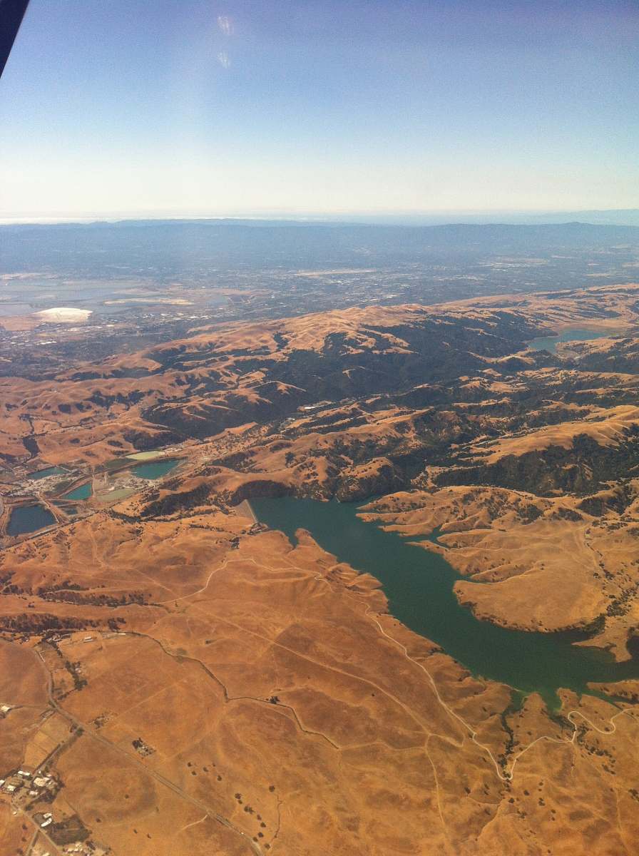
Vertical Aerial Perspective of Chilpancingo and Huacapa River
High Resolution JPEG Picture of
This image captures a vertical aerial perspective of the city of Chilpancingo alongside the winding Huacapa River. The composition emphasizes the intricate interaction between urban infrastructure and natural waterways. The clean lines and natural tones present a clear representation of the geographical layout, making it suitable for a variety of applications. The perspective allows viewers to appreciate the spatial relationship between the city and its river.
This vertical aerial image can be effectively utilized in various commercial and educational contexts. It is perfect for inclusion in travel guides, geography textbooks, and website backgrounds. Designers can use this image in infographics, social media posts, or eBooks focused on environmental studies. Additionally, it can serve as a visual element in presentations or canvas prints for creative projects, appealing to those interested in urban planning and river ecology.