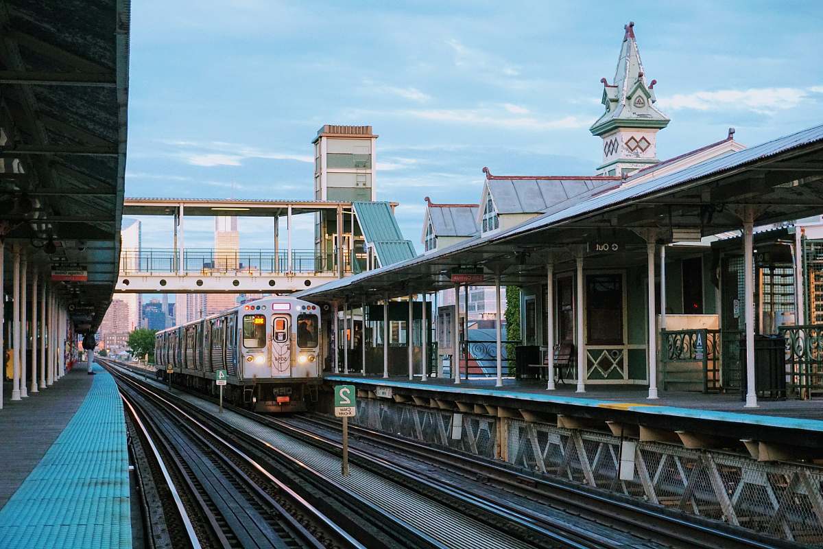
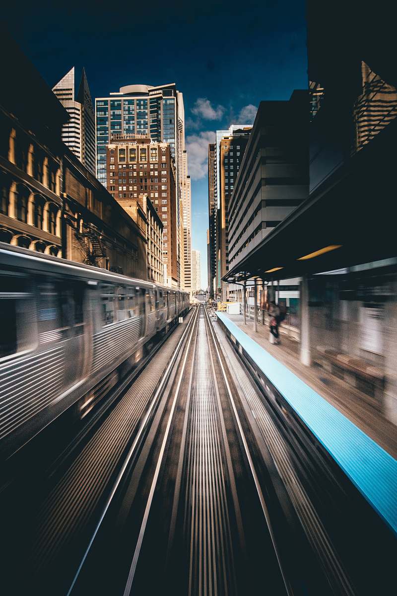
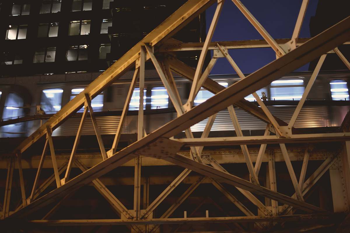
View from Above of Street and Train Metro Chicago
High Resolution JPEG Picture of View from above of street and train metro City of Chicago, Illinois, USA
This image captures an aerial view of a bustling urban scene featuring a Chicago street intersected by a train metro line. The composition highlights the intricate layout of city infrastructure, including busy streets, sidewalks, and the dynamic movement of urban life. Ideal for showcasing the interaction between public transportation and city architecture, this visual offers a unique perspective on metropolitan connectivity.
This image can be effectively utilized in various commercial and educational contexts. It is suitable for city planning presentations, travel guides, and articles focused on urban transportation. Additionally, it can enhance infographics discussing metropolitan growth, social media posts about city living, and educational materials on public transit systems. Marketers may incorporate it into website designs, brochures, or eBooks related to travel in Chicago.