Vintage Navigation Map with Mariners Compass
High Resolution JPEG Picture of old compass on vintage map of the world 1746
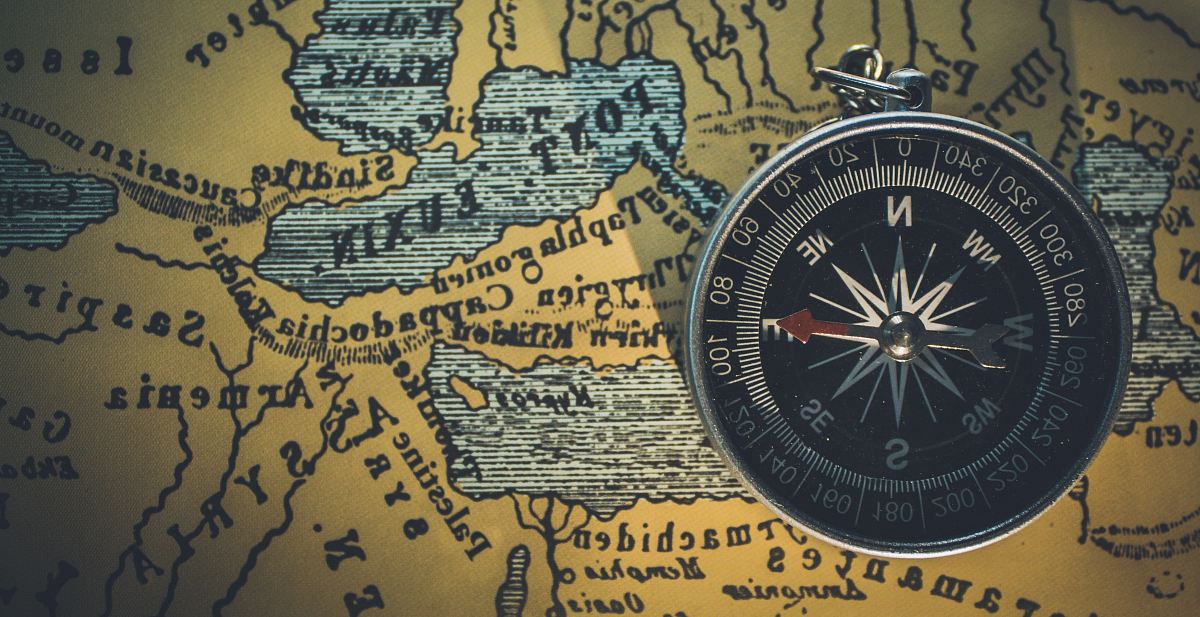
This image showcases a vintage navigation map, intricately detailed with geographical outlines and a classic mariner's compass. The design reflects historical maritime exploration, making it a valuable resource for various applications. The map illustrates significant waterways, coastlines, and key landmarks, providing a comprehensive view of maritime geography. It is perfect for those interested in history, navigation, and cartography.
This vintage navigation map can be utilized in multiple contexts such as educational material for geography classes, travel websites, and historical documentaries. Designers may incorporate it into infographics, mobile UI designs, or social media posts to convey themes of exploration and adventure. It also serves as a compelling background for posters, eBooks, and canvas prints, appealing to audiences fascinated by maritime history and exploration.