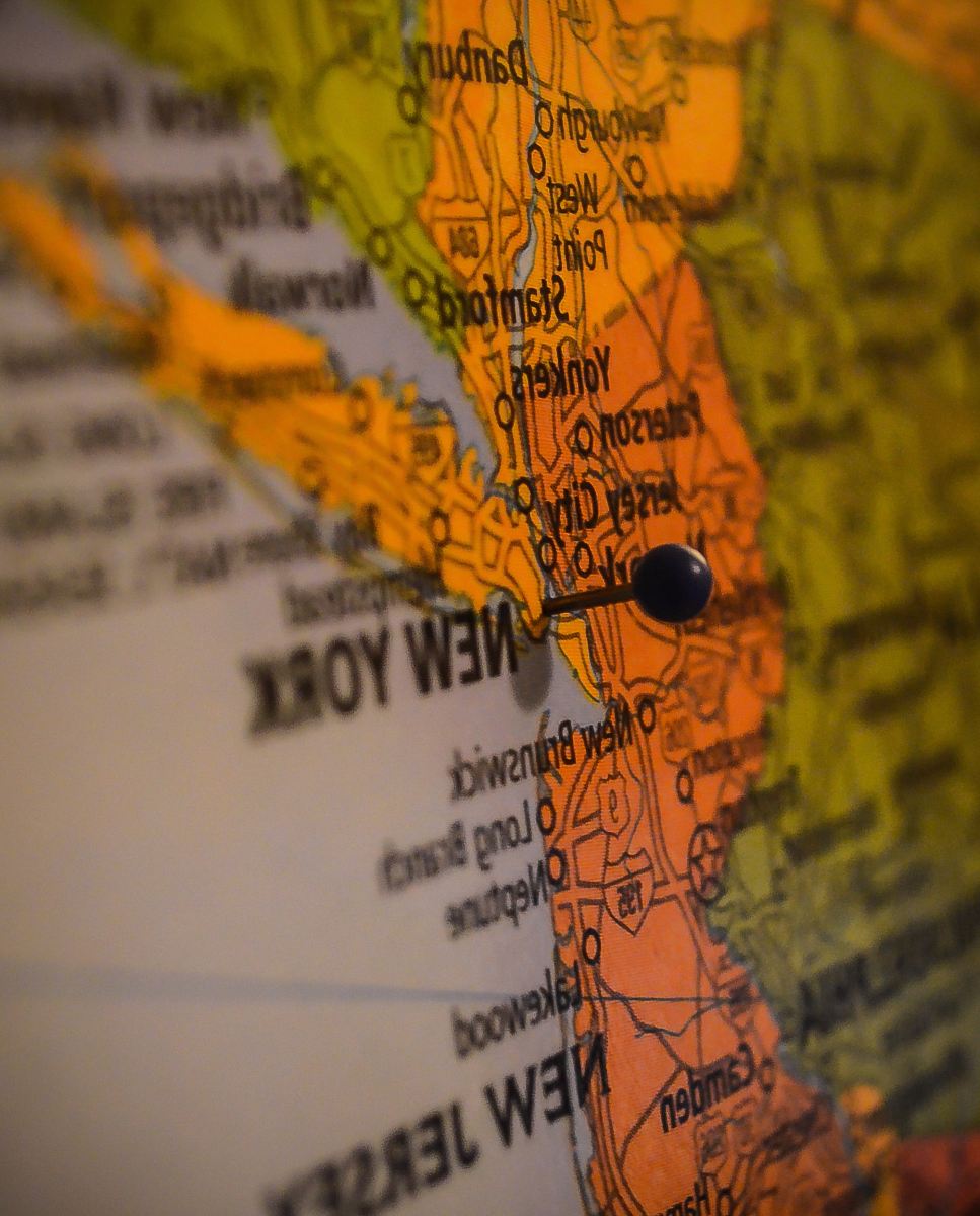
World Topographic Map Featuring Detailed Terrain
High Resolution JPEG Picture of "High quality surface map, natural colors, clouds cover.Clouds map comes from earthobservatory/nasa.The software to createA!Photoshop CS5"
This world topographic map presents a comprehensive view of Earth's terrain, illustrating varied elevations and landscapes across continents. The design includes detailed contours that effectively represent mountains, valleys, and plains. This cartographic visualization serves as a crucial resource for geography enthusiasts, educators, and professionals seeking to understand the Earth's physical features.
This topographic map can be utilized in various contexts including educational resources, geography textbooks, environmental studies, and travel websites. It's also suitable for infographics that require detailed landscape representation, presentations in classrooms, and social media posts related to geography. Further, it can enhance mobile app interfaces focused on travel or outdoor activities, serving as an essential visual tool in multiple educational or commercial applications.


