High-Resolution Detailed Map of the Earth
High Resolution JPEG Picture of Sun shining over a high detailed view of Planet Earth, focused on North America, USA and Canada. 3D illustration (Blender software), elements of this image furnished by NASA (https://eoimages.gsfc.nasa.gov/images/imagerecords/73000/73776/world.topo.bathy.200408.3x5400x2700.jpg)
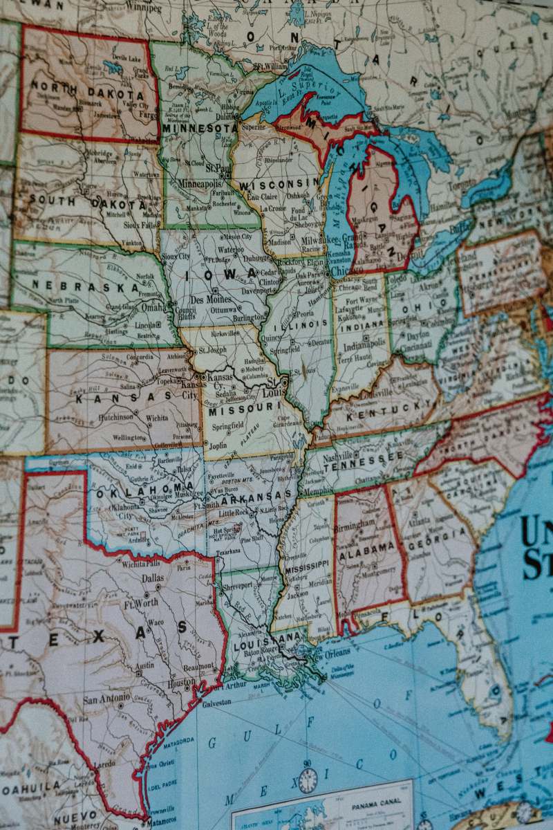
This high-resolution detailed map of the Earth features intricate geographical details and accurate representations of continents, countries, and bodies of water. Designed for a variety of uses, the map showcases topographical elements, major cities, and important landmarks. It is suitable for digital and print formats, ensuring clarity and precision in any application.
This detailed map can be used in a range of commercial and educational projects, including atlas publications, school presentations, and geography textbooks. It fits perfectly in websites and online platforms focused on travel, education, or environmental topics. Moreover, it can enhance infographics, social media posts, and mobile applications, providing a valuable resource for designers and marketers alike.


