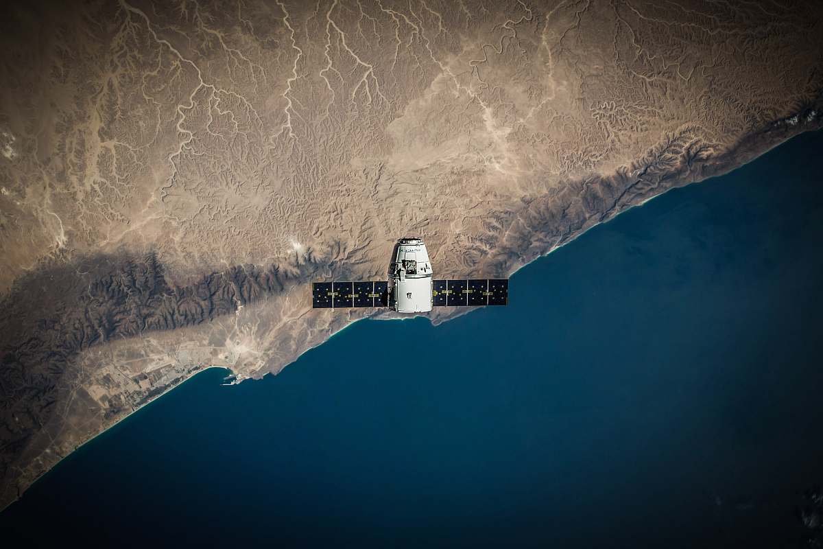
Aerial View of Earth: Satellite Illustration of Water and Land
Free for Commercial Use
5000 X 5000
Visual Description & Context
Experience the breathtaking beauty of our planet with this detailed satellite illustration showcasing water and land from above. Perfect for educational projects, environmental reports, or as a striking backdrop in presentations, this world map visual captures the intricate balance of nature. Ideal for use in blogs, articles, or any creative endeavor that explores Earth's geography and ecosystems.
Aerial View of Earth: Satellite Illustration of Water and Land
P
PhotoStock Editor
Original Archive
License
Commercial Free
High Resolution • 5000 X 5000
Asset Details
Type
Photography
Dimensions
5000 x 5000 px
Location
Asia