Map of Mosul - Satellite View
High Resolution JPEG Picture of Map of Mosul, satellite view, city, Iraq. 3d rendering
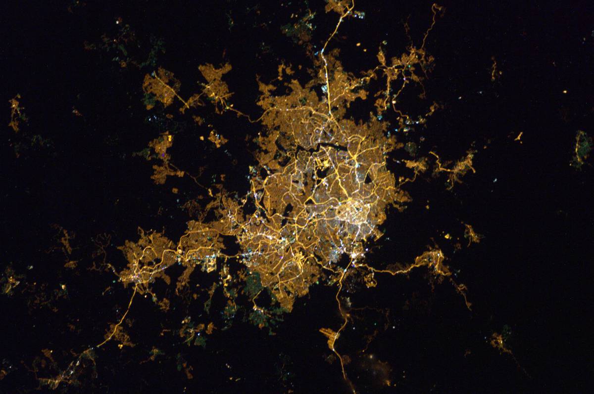
This image features a satellite view map of Mosul, one of the largest cities in Iraq, situated along the Tigris River. The map showcases key urban areas, roads, and geographical features that define the city. This aerial perspective provides valuable insight into the layout and infrastructure of Mosul, making it a useful resource for those interested in geography, urban studies, or Middle Eastern culture.
The map of Mosul can be utilized in various contexts, including educational materials, travel guides, and geographical analysis. It is suitable for incorporation into websites, brochures, social media posts, and presentations related to Iraq and its cultural heritage. Additionally, it can serve as a foundational element for infographics, urban planning discussions, and historical studies, offering a comprehensive view of the city�s layout and development.