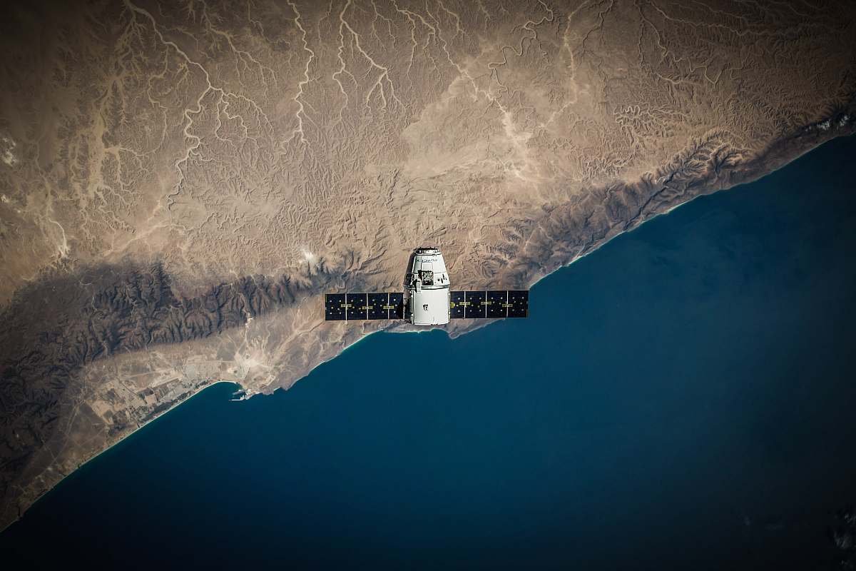
Aerial Satellite View of the Nile Delta
Free for Commercial Use
3606 X 2404
Visual Description & Context
This breathtaking aerial satellite image captures the intricate patterns and vibrant greenery of the Nile Delta, showcasing the river's expansive floodplain and its lush, agricultural lands. Perfect for use in environmental studies, geographic research, or as an illustrative piece for travel and tourism publications, this image highlights the dynamic interplay between water and land in one of the world's most iconic deltas.
Aerial Satellite View of the Nile Delta
P
PhotoStock Editor
Original Archive
License
Commercial Free
High Resolution • 3606 X 2404
Asset Details
Type
Photography
Dimensions
3606 x 2404 px
Location
Qadisiyah, Baghdad, Iraq