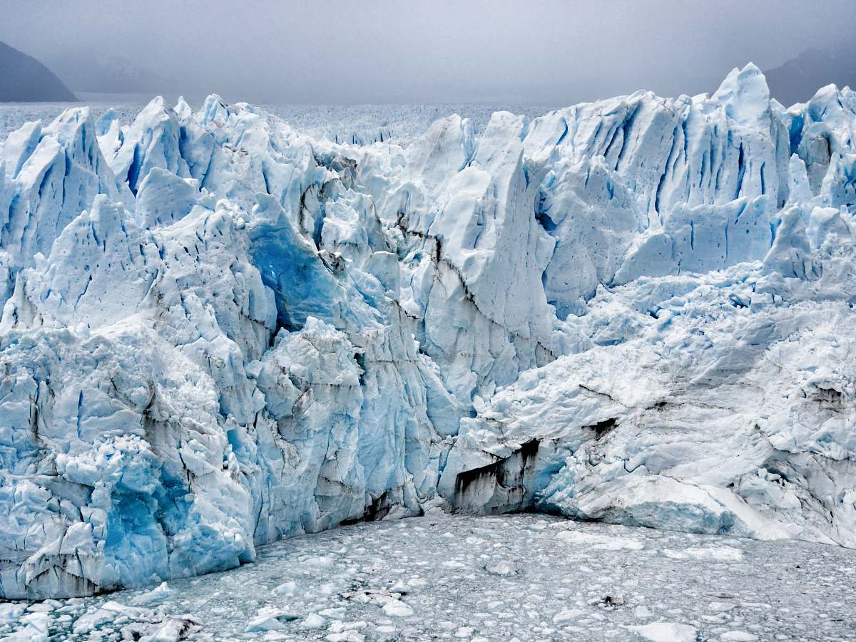
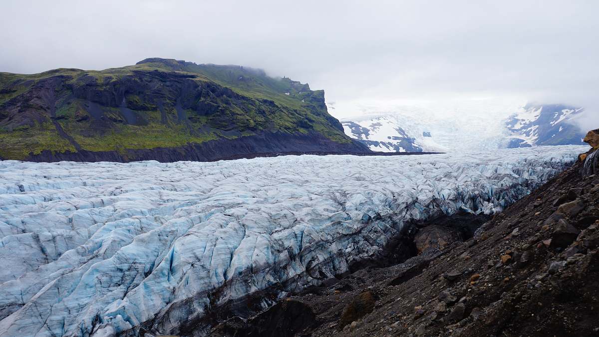
Aerial View of a Glacier: Satellite Imagery
Free for Commercial Use
3584 X 3584
Visual Description & Context
Discover the breathtaking beauty of our planet through this high-resolution satellite imagery capturing a glacier's icy expanse. The intricate patterns of ice cover the earth's surface, showcasing nature's artistry from above. This image serves as an excellent resource for environmental studies, climate change discussions, or any project highlighting the Earth's delicate ecosystems and glacial landscapes.
Aerial View of a Glacier: Satellite Imagery
P
PhotoStock Editor
Original Archive
License
Commercial Free
High Resolution • 3584 X 3584
Asset Details
Type
Photography
Dimensions
3584 x 3584 px